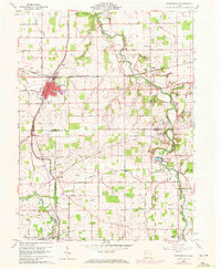
1960 Map of Spencerville
USGS Topo · Published 1972About this map
Spencerville serves as the industrial and social hub of this West Central Ohio landscape, where the traces of 19th-century infrastructure meet the modernizing mid-century era. The Miami and Erie Canal (Abandoned) cuts a definitive line through the terrain, serving as a silent reminder of the water-powered trade routes that once defined the region. To the east and south, the Auglaize River and St Marys River wind through a patchwork of agricultural sections, dotted with small rural crossroads such as Conant and Buckland.
Find a feature on this map
18 named features on this map. Tap any name to fly to it.
Don’t see what you’re looking for? This feature index may not catch every label — zoom into the map to look around manually.
Map Details
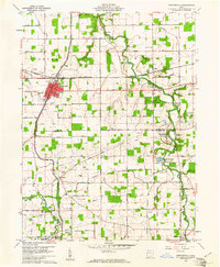
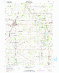
Editions of this 1960 Spencerville Map
3 editions found
Other maps of this area

1906 · Lima
USGS Topo · 1:62,500

1906 · Columbus Grove
USGS Topo · 1:62,500

1908 · Columbus Grove
USGS Topo · 1:62,500

1911 · Spencerville
USGS Topo · 1:62,500

1911 · Delphos
USGS Topo · 1:62,500

1944 · Delphos
USGS Topo · 1:62,500

1944 · Spencerville
USGS Topo · 1:62,500

1953 · Muncie
USGS Topo · 1:250,000

1956 · Muncie
USGS Topo · 1:250,000
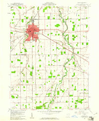
1960 · Delphos
USGS Topo · 1:24,000