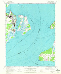
1948 Map of Spesutie
USGS Topo · Published 1972About this map
Aberdeen Proving Ground dominates the western shore of this coastal survey, where military development meets the natural complexity of the upper Chesapeake Bay. The landscape is a mix of tactical infrastructure and wildlife habitat, featuring an Auto test course, a Sewage disposal plant, and an Abandoned airport alongside the marshes of Spesutie Island. Northward, the Susquehanna National Wildlife Refuge encompasses the waters of the bay, including the isolated Fishing battery. Across the water to the east, the rural character of Grove Neck and Elk Neck contrasts sharply with the military installation. This area is defined by its deep-water access and strategic position at the confluence of the Elk River and Sassafras River, revealing the mid-century transition from traditional maritime use to modern federal operations.
Find a feature on this map
42 named features on this map. Tap any name to fly to it.
Don’t see what you’re looking for? This feature index may not catch every label — zoom into the map to look around manually.
Map Details
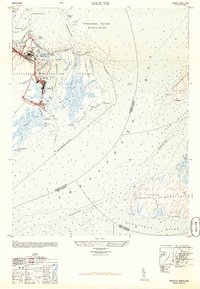
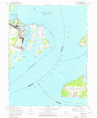
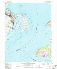
Editions of this 1948 Spesutie Map
4 editions found
Other maps of this area

1898 · Elkton
USGS Topo · 1:62,500

1898 · Tolchester
USGS Topo · 1:125,000

1899 · Dover
USGS Topo · 1:125,000

1900 · Elkton
USGS Topo · 1:62,500

1900 · Cecilton
USGS Topo · 1:62,500

1900 · Havre De Grace
USGS Topo · 1:62,500

1900 · Betterton
USGS Topo · 1:62,500

1903 · Tolchester
USGS Topo · 1:125,000

1906 · Dover
USGS Topo · 1:125,000

1908 · Tolchester
USGS Topo · 1:125,000