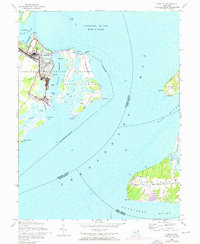
1948 Map of Spesutie
USGS Topo · Published 1976About this map
Aberdeen Proving Ground dominates the shoreline of Harford County in this mid-century survey, revealing a landscape defined by military infrastructure and wildlife preservation. The map details the technical layout of the era, including an Auto test course, a Sewage disposal plant, and an Abandoned airport located near the Spesutie Narrows. To the east, Spesutie Island sits prominently in the Chesapeake Bay, its marshes and interior creeks shielded by the Susquehanna National Wildlife Refuge.
Find a feature on this map
41 named features on this map. Tap any name to fly to it.
Don’t see what you’re looking for? This feature index may not catch every label — zoom into the map to look around manually.
Map Details
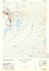
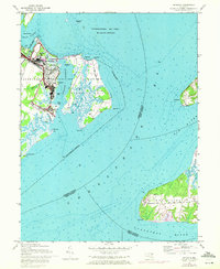
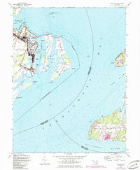
Editions of this 1948 Spesutie Map
4 editions found
Other maps of this area

1898 · Elkton
USGS Topo · 1:62,500

1898 · Tolchester
USGS Topo · 1:125,000

1899 · Dover
USGS Topo · 1:125,000

1900 · Elkton
USGS Topo · 1:62,500

1900 · Cecilton
USGS Topo · 1:62,500

1900 · Havre De Grace
USGS Topo · 1:62,500

1900 · Betterton
USGS Topo · 1:62,500

1903 · Tolchester
USGS Topo · 1:125,000

1906 · Dover
USGS Topo · 1:125,000

1908 · Tolchester
USGS Topo · 1:125,000