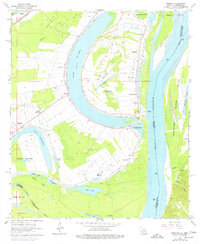
1963 Map of Spokane
USGS Topo · Published 1977About this map
The plantation economy along the Mississippi River is prominently visible in this mid-century survey of the border between Louisiana and Mississippi. Large-scale agriculture and landholdings define the landscape, including Alabama Plantation, Canebrake Plantation, and the aptly named Hole in the Wall Plantation. The community of Spokane serves as a central hub for the surrounding fields, supported by a network of rural churches like St Mary Ch and Delhi Ch.
Find a feature on this map
54 named features on this map. Tap any name to fly to it.
Don’t see what you’re looking for? This feature index may not catch every label — zoom into the map to look around manually.
Map Details
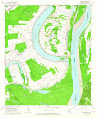
Editions of this 1963 Spokane Map
2 editions found
Other maps of this area

1909 · Sycamore Landing
USGS Topo · 1:24,000

1909 · Vidalia
USGS Topo · 1:24,000

1921 · Natchez
USGS Topo · 1:48,000

1922 · Natchez
USGS Topo · 1:62,500

1939 · Red Gum
USGS Topo · 1:62,500

1939 · Natchez
USGS Topo · 1:62,500

1939 · Locust Ridge
USGS Topo · 1:62,500

1941 · Sicily Island
USGS Topo · 1:62,500

1953 · Natchez
USGS Topo · 1:250,000

1956 · Natchez
USGS Topo · 1:250,000