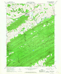
1966 Map of Spring Mills
USGS Topo · Published 1968About this map
Spring Mills serves as the focal point of this mid-1960s study, situated where Penns Creek and Sinking Creek meet at the base of Egg Hill. The map documents a rural Pennsylvania landscape defined by tight agricultural valleys tucked between long, wooded ridges. To the north, Penn Hall and Farmers Mills anchor the farming country, where Bethesda Ch and Union Cem mark the established community hubs.
Find a feature on this map
81 named features on this map. Tap any name to fly to it.
Don’t see what you’re looking for? This feature index may not catch every label — zoom into the map to look around manually.
Map Details
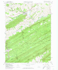
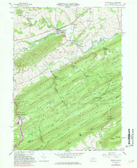
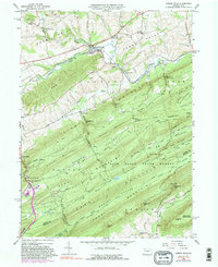
Editions of this 1966 Spring Mills Map
4 editions found
Other maps of this area

1924 · Centre Hall
USGS Topo · 1:62,500

1924 · Lewistown
USGS Topo · 1:62,500

1925 · Mifflintown
USGS Topo · 1:48,000

1927 · Lewisburg
USGS Topo · 1:62,500

1929 · Centre Hall
USGS Topo · 1:62,500

1934 · Mifflintown
USGS Topo · 1:62,500

1937 · Mifflintown
USGS Topo · 1:62,500

1937 · Millheim
USGS Topo · 1:48,000

1941 · Millheim
USGS Topo · 1:62,500

1943 · Lewistown
USGS Topo · 1:125,000