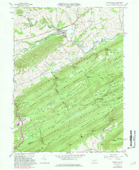
1966 Map of Spring Mills
USGS Topo · Published 1981About this map
Penns Valley serves as the agricultural and industrial heart of this Central Pennsylvania landscape, where the Penn Central railroad corridor follows the winding course of Penns Creek. Small mid-century settlements like Spring Mills, Farmers Mills, and Penn Hall are concentrated in the northern lowlands, supported by numerous local congregations at Bethesda Ch and St Johns Ch. South of the valley, the terrain shifts dramatically into the ridgelines of First Mountain and Penn Mountain, much of which is preserved within the Bald Eagle State Forest and Rothrock State Forest. The map documents a complex network of forest roads and trails, such as the Siglerville Millheim Pike, which navigate steep gaps including Vonada Gap and Synagogue Gap. This 1966 survey, with limited 1973 revisions, preserves the alignment of rural infrastructure before modern expansion, marking several shale pits and the Poe Lookout Tower atop the southern ridges.
Find a feature on this map
76 named features on this map. Tap any name to fly to it.
Don’t see what you’re looking for? This feature index may not catch every label — zoom into the map to look around manually.
Map Details
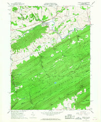
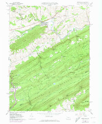
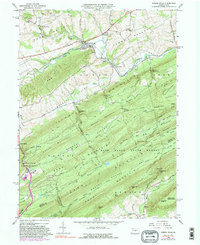
Editions of this 1966 Spring Mills Map
4 editions found
Other maps of this area

1924 · Centre Hall
USGS Topo · 1:62,500

1924 · Lewistown
USGS Topo · 1:62,500

1925 · Mifflintown
USGS Topo · 1:48,000

1927 · Lewisburg
USGS Topo · 1:62,500

1929 · Centre Hall
USGS Topo · 1:62,500

1934 · Mifflintown
USGS Topo · 1:62,500

1937 · Mifflintown
USGS Topo · 1:62,500

1937 · Millheim
USGS Topo · 1:48,000

1941 · Millheim
USGS Topo · 1:62,500

1943 · Lewistown
USGS Topo · 1:125,000