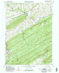
1966 Map of Spring Mills
USGS Topo · Published 1988About this map
Farmers Mills and Spring Mills anchor the northern reaches of this mid-1960s landscape, where the valley floor is defined by the winding course of Penns Creek and the Penn Central rail line. The terrain transitions from the agricultural openness of Penn Valley into a series of strictly parallel ridges, including Egg Hill, Georges Valley, and the massive Bald Eagle State Mountain. This pattern of narrow valleys and high ridges dictated historical settlement and transport, with gaps like Vonada Gap and Zerby Gap serving as vital passage points.
Find a feature on this map
75 named features on this map. Tap any name to fly to it.
Don’t see what you’re looking for? This feature index may not catch every label — zoom into the map to look around manually.
Map Details
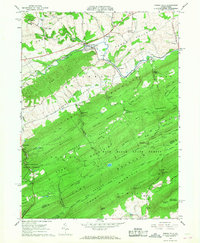
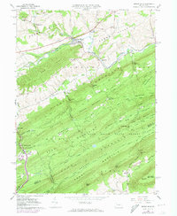
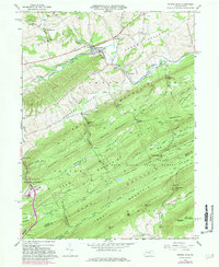
Editions of this 1966 Spring Mills Map
4 editions found
Other maps of this area

1924 · Centre Hall
USGS Topo · 1:62,500

1924 · Lewistown
USGS Topo · 1:62,500

1925 · Mifflintown
USGS Topo · 1:48,000

1927 · Lewisburg
USGS Topo · 1:62,500

1929 · Centre Hall
USGS Topo · 1:62,500

1934 · Mifflintown
USGS Topo · 1:62,500

1937 · Mifflintown
USGS Topo · 1:62,500

1937 · Millheim
USGS Topo · 1:48,000

1941 · Millheim
USGS Topo · 1:62,500

1943 · Lewistown
USGS Topo · 1:125,000