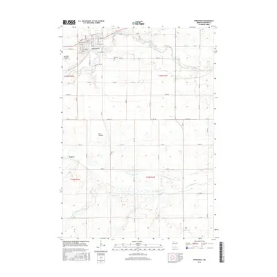
2016 Map of Springfield
USGS Topo · Published 2016About this map
Springfield serves as the primary hub of this agricultural landscape in Brown County, where the street grid is organized around thoroughfares like E Maple St and W Central St. The town sits along the Cottonwood River, which snakes across the northern portion of the quadrangle. Outside of the main settlement, the land is defined by a dense network of county roads, including Co Hwy 4 and Co Hwy 100, which connect outlying points like the small community of Dotson.
Find a feature on this map
56 named features on this map. Tap any name to fly to it.
Don’t see what you’re looking for? This feature index may not catch every label — zoom into the map to look around manually.
Map Details
Editions of this 2016 Springfield Map
This is the sole edition of this map. No revisions or reprints were ever made.
Other maps of this area

1953 · Morgan
USGS Topo · 1:62,500

1953 · New Ulm
USGS Topo · 1:250,000

1957 · New Ulm
USGS Topo · 1:250,000

1958 · New Ulm
USGS Topo · 1:250,000

1967 · New Ulm
USGS Topo · 1:250,000

1967 · Clements SE
USGS Topo · 1:24,000

1967 · Sanborn SE
USGS Topo · 1:24,000

1967 · Springfield
USGS Topo · 1:24,000

1967 · Sanborn NE
USGS Topo · 1:24,000

1967 · Darfur
USGS Topo · 1:24,000