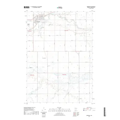
2019 Map of Springfield
USGS Topo · Published 2019About this map
Springfield serves as the primary hub of this Brown County landscape, where the street grid is clearly defined by historical corridors like W Central St and W Walnut St. The surrounding countryside is defined by the winding course of the Cottonwood River to the north and the Little Cottonwood River cutting through the southern townships. Traces of local heritage are preserved in scattered burial grounds such as the Moravian Cem and Faith Cem, while the agrarian character of the land is evident in features like the Reed Lakebed. On the western edge, the settlement of Dotson and the Springfield Municipal Airport mark the transition from the town's residential center to the expansive drainage basins of Mound Cr. This survey illustrates a modern township system established over a century of midwestern development.
Find a feature on this map
62 named features on this map. Tap any name to fly to it.
Don’t see what you’re looking for? This feature index may not catch every label — zoom into the map to look around manually.
Map Details
Editions of this 2019 Springfield Map
This is the sole edition of this map. No revisions or reprints were ever made.
Other maps of this area

1953 · Morgan
USGS Topo · 1:62,500

1953 · New Ulm
USGS Topo · 1:250,000

1957 · New Ulm
USGS Topo · 1:250,000

1958 · New Ulm
USGS Topo · 1:250,000

1967 · New Ulm
USGS Topo · 1:250,000

1967 · Clements SE
USGS Topo · 1:24,000

1967 · Sanborn SE
USGS Topo · 1:24,000

1967 · Springfield
USGS Topo · 1:24,000

1967 · Sanborn NE
USGS Topo · 1:24,000

1967 · Darfur
USGS Topo · 1:24,000