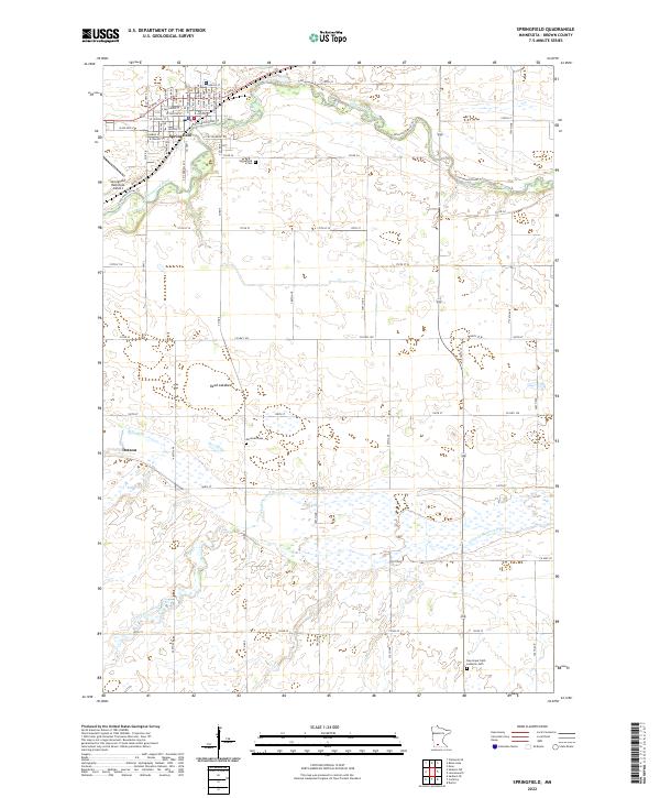
2022 Map of Springfield
USGS Topo · Published 2022About this map
The city of Springfield serves as the primary hub of this Brown County landscape, situated where the Cottonwood River winds through the northern prairie. The town's grid is well-defined by numerous local streets, including W Rock St, W Central St, and Burns Ave, reflecting its established residential and commercial character. To the west, the Springfield Municipal Airport provides a modern landmark near the river's edge, while the surrounding rural townships are dotted with several significant burial grounds including the Springfield Cem, Moravian Cem, and New Hope Faith Lutheran Cem.
Find a feature on this map
66 named features on this map. Tap any name to fly to it.
Don’t see what you’re looking for? This feature index may not catch every label — zoom into the map to look around manually.
Map Details
Editions of this 2022 Springfield Map
This is the sole edition of this map. No revisions or reprints were ever made.
Other maps of this area

1953 · Morgan
USGS Topo · 1:62,500

1953 · New Ulm
USGS Topo · 1:250,000

1957 · New Ulm
USGS Topo · 1:250,000

1958 · New Ulm
USGS Topo · 1:250,000

1967 · New Ulm
USGS Topo · 1:250,000

1967 · Clements SE
USGS Topo · 1:24,000

1967 · Sanborn SE
USGS Topo · 1:24,000

1967 · Springfield
USGS Topo · 1:24,000

1967 · Sanborn NE
USGS Topo · 1:24,000

1967 · Darfur
USGS Topo · 1:24,000