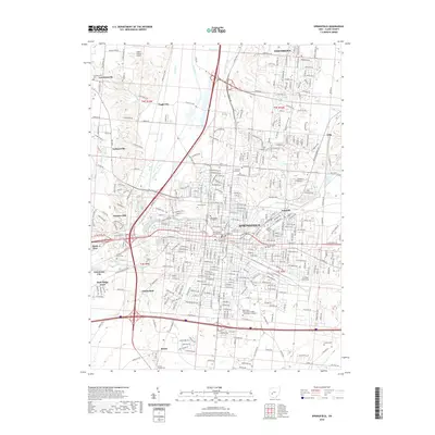
2019 Map of Springfield
USGS Topo · Published 2019About this map
Springfield sits at the confluence of Buck Creek and the Mad River, serving as a dense urban center surrounded by satellite communities and agricultural land. The city's civic and educational identity is anchored by the Clark County Courthouse and the sprawling campus of Wittenberg University. The landscape is notable for its high concentration of historic burial grounds, including the large Ferrcliff Cem and Greenmount Cem, which provide significant data for local genealogical research. To the north and west, smaller settlements like Lawrenceville, Eagle City, and Snyders Mill represent the area's transition into the surrounding township lands.
Find a feature on this map
319 named features on this map. Tap any name to fly to it.
Don’t see what you’re looking for? This feature index may not catch every label — zoom into the map to look around manually.
Map Details
Editions of this 2019 Springfield Map
This is the sole edition of this map. No revisions or reprints were ever made.
Other maps of this area

1904 · Springfield
USGS Topo · 1:62,500

1906 · Springfield
USGS Topo · 1:62,500

1907 · South Charleston
USGS Topo · 1:62,500

1914 · St. Paris
USGS Topo · 1:62,500

1914 · Mechanicsburg
USGS Topo · 1:62,500

1916 · Mechanicsburg
USGS Topo · 1:62,500

1916 · St. Paris
USGS Topo · 1:62,500

1944 · Mechanicsburg
USGS Topo · 1:62,500

1944 · St. Paris
USGS Topo · 1:62,500

1947 · Columbus
USGS Topo · 1:250,000
Featured Places
- Springfield, OH
- Happy Valley Mobile Home Park, OH
- Limecrest, OH
- Beatty, OH
- Rose Garden Mobile Home Park, OH