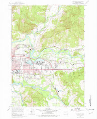
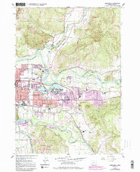
1967 Map of Springfield
USGS Topo · Published 1982About this map
The Mc Kenzie River and the Middle Fork Willamette River converge in this mid-century portrait of Lane County, defining a landscape of riparian lowlands and rising ridges. The city of Springfield is captured during a period of industrial and residential expansion, with detailed street grids extending toward Mohawk Junction and the community of Thurston. The rail infrastructure is prominent, featuring the Southern Pacific line as it skirts the western slopes of Mt Pisgah near the settlement of Natron.
Find a feature on this map
58 named features on this map. Tap any name to fly to it.
Don’t see what you’re looking for? This feature index may not catch every label — zoom into the map to look around manually.
Map Details
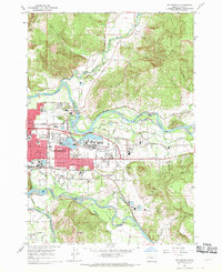
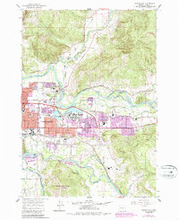
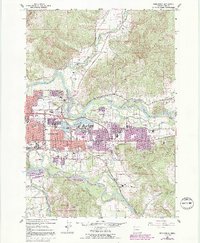
Editions of this 1967 Springfield Map
5 editions found
Other maps of this area

1910 · Eugene
USGS Topo · 1:62,500

1921 · Cottage Grove
USGS Topo · 1:62,500

1935 · Lowell
USGS Topo · 1:96,000

1940 · Eugene
USGS Topo · 1:62,500

1942 · Lowell
USGS Topo · 1:125,000

1946 · Eugene
USGS Topo · 1:62,500

1949 · Eugene
USGS Topo · 1:62,500

1950 · Marcola
USGS Topo · 1:62,500

1952 · Marcola
USGS Topo · 1:62,500

1953 · Salem
USGS Topo · 1:250,000