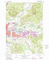
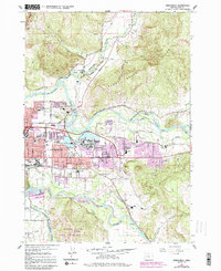
1967 Map of Springfield
USGS Topo · Published 1987About this map
The confluence of the Mc Kenzie River and the Middle Fork Willamette River shapes the geography of this mid-1960s survey. The city of Springfield is seen expanding eastward, with newer residential developments and schools like Thurston High Sch and Yolanda Sch appearing in purple revision tints. The industrial and transportation backbone of the era is evident in the Southern Pacific rail lines and the presence of the Springfield Airport near the river bend.
Find a feature on this map
53 named features on this map. Tap any name to fly to it.
Don’t see what you’re looking for? This feature index may not catch every label — zoom into the map to look around manually.
Map Details
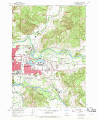
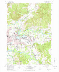
Editions of this 1967 Springfield Map
5 editions found
Other maps of this area

1910 · Eugene
USGS Topo · 1:62,500

1921 · Cottage Grove
USGS Topo · 1:62,500

1935 · Lowell
USGS Topo · 1:96,000

1940 · Eugene
USGS Topo · 1:62,500

1942 · Lowell
USGS Topo · 1:125,000

1946 · Eugene
USGS Topo · 1:62,500

1949 · Eugene
USGS Topo · 1:62,500

1950 · Marcola
USGS Topo · 1:62,500

1952 · Marcola
USGS Topo · 1:62,500

1953 · Salem
USGS Topo · 1:250,000