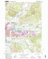
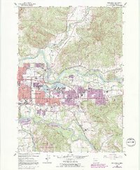
1967 Map of Springfield
USGS Topo · Published 1992About this map
The confluence of the Middle Fork Willamette River, Coast Fork Willamette River, and the Mc Kenzie River dominates this mid-century look at the eastern edge of the Eugene area. The city of Springfield appears in a phase of significant expansion, with many streets and neighborhoods indicated in purple revision tint. To the east, the community of Thurston remains distinct, while small pockets of industry like the Drive-in Theater, several Gravel Pits, and a Quarry show the land's transition from rural to suburban. The Southern Pacific railroad lines and the winding Mohawk River anchor the local geography, connecting outlying areas like Hendricks and Natron to the urban core. For genealogists, the map preserves the locations of Stafford Cem, Mt Vernon Cem, and the Springfield Memorial Cem during a period of rapid development.
Find a feature on this map
52 named features on this map. Tap any name to fly to it.
Don’t see what you’re looking for? This feature index may not catch every label — zoom into the map to look around manually.
Map Details
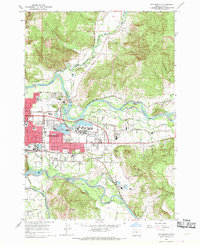
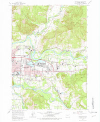
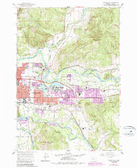
Editions of this 1967 Springfield Map
5 editions found
Other maps of this area

1910 · Eugene
USGS Topo · 1:62,500

1921 · Cottage Grove
USGS Topo · 1:62,500

1935 · Lowell
USGS Topo · 1:96,000

1940 · Eugene
USGS Topo · 1:62,500

1942 · Lowell
USGS Topo · 1:125,000

1946 · Eugene
USGS Topo · 1:62,500

1949 · Eugene
USGS Topo · 1:62,500

1950 · Marcola
USGS Topo · 1:62,500

1952 · Marcola
USGS Topo · 1:62,500

1953 · Salem
USGS Topo · 1:250,000