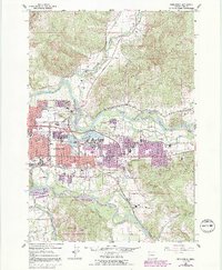
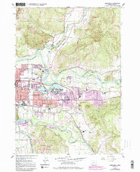
1967 Map of Springfield
USGS Topo · Published 1992About this map
The Middle Fork Willamette River and Coast Fork Willamette River converge south of town, anchoring a landscape shaped by significant hydrology and timber-era transport. In this mid-century survey, the growing community of Springfield is documented alongside its outlying settlements of Hendricks, Thurston, and Natron. The industrial and logistics footprint of the era is evident in the Southern Pacific rail lines and the presence of numerous gravel pits and quarries.
Find a feature on this map
49 named features on this map. Tap any name to fly to it.
Don’t see what you’re looking for? This feature index may not catch every label — zoom into the map to look around manually.
Map Details
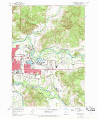
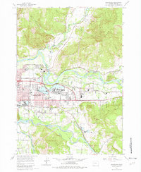
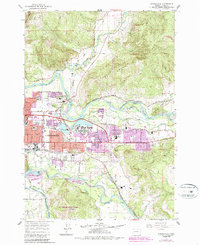
Editions of this 1967 Springfield Map
5 editions found
Other maps of this area

1910 · Eugene
USGS Topo · 1:62,500

1921 · Cottage Grove
USGS Topo · 1:62,500

1935 · Lowell
USGS Topo · 1:96,000

1940 · Eugene
USGS Topo · 1:62,500

1942 · Lowell
USGS Topo · 1:125,000

1946 · Eugene
USGS Topo · 1:62,500

1949 · Eugene
USGS Topo · 1:62,500

1950 · Marcola
USGS Topo · 1:62,500

1952 · Marcola
USGS Topo · 1:62,500

1953 · Salem
USGS Topo · 1:250,000