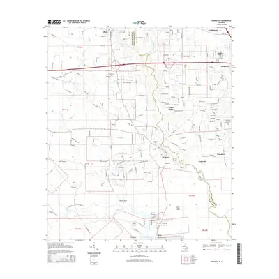
2015 Map of Springfield
USGS Topo · Published 2015About this map
Hungarian Settlement stands as a significant cultural marker in this region of the Louisiana piney woods, centered between the towns of Albany and Springfield. The landscape is defined by its intricate drainage patterns, where the Blood River and Natalbany River flow southward toward the Tickfaw River, shaping the development of early riverfront locations like Warsaw Landing and Rome. This survey documents the transition from the upland pine forests to the lower marshier edges of the basin, evidenced by features such as Duncans Bluff and Brier Patch Island. Local history is deeply etched into the land through numerous small burial grounds including Saint Margarets Cem, Hungarian Cem, and Galilee Cem, reflecting the diverse ancestry and early rural communities that coalesced around crossroads like Pumpkin Center and Rosaryville.
Find a feature on this map
200 named features on this map. Tap any name to fly to it.
Don’t see what you’re looking for? This feature index may not catch every label — zoom into the map to look around manually.
Map Details
Editions of this 2015 Springfield Map
This is the sole edition of this map. No revisions or reprints were ever made.
Other maps of this area

1934 · Springfield
USGS Topo · 1:62,500

1935 · Ponchatoula
USGS Topo · 1:62,500

1939 · Ponchatoula
USGS Topo · 1:62,500

1939 · Springfield
USGS Topo · 1:62,500

1940 · Tickfaw
USGS Topo · 1:31,680

1949 · Albany
USGS Topo · 1:31,680

1950 · Doyle
USGS Topo · 1:31,680

1951 · Ponchatoula
USGS Topo · 1:62,500

1954 · Baton Rouge
USGS Topo · 1:250,000

1956 · Baton Rouge
USGS Topo · 1:250,000