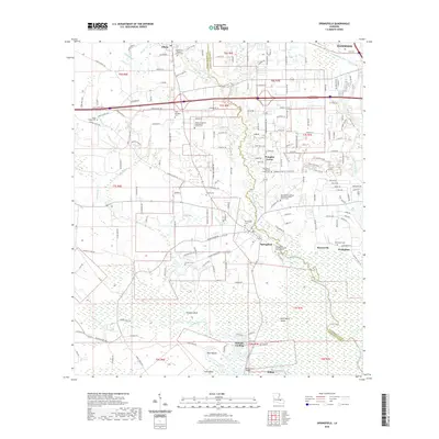
2020 Map of Springfield
USGS Topo · Published 2020About this map
Springfield and Albany anchor this landscape along the border of Tangipahoa Parish and Livingston Parish, where the Blood River and Natalbany River converge toward the swampy lowlands. The area is characterized by a dense network of family-named roads like Weston Hano Rd and James Chapel Rd S, alongside a remarkable concentration of community anchors. The Albany Hungarian Presbyterian Church reflects the distinct ethnic heritage of the region, while the numerosas cemeteries, including Galilee Cem and Wadesboro Cem, provide a rich record of local family lineages.
Find a feature on this map
112 named features on this map. Tap any name to fly to it.
Don’t see what you’re looking for? This feature index may not catch every label — zoom into the map to look around manually.
Map Details
Editions of this 2020 Springfield Map
This is the sole edition of this map. No revisions or reprints were ever made.
Other maps of this area

1934 · Springfield
USGS Topo · 1:62,500

1935 · Ponchatoula
USGS Topo · 1:62,500

1939 · Ponchatoula
USGS Topo · 1:62,500

1939 · Springfield
USGS Topo · 1:62,500

1940 · Tickfaw
USGS Topo · 1:31,680

1949 · Albany
USGS Topo · 1:31,680

1950 · Doyle
USGS Topo · 1:31,680

1951 · Ponchatoula
USGS Topo · 1:62,500

1954 · Baton Rouge
USGS Topo · 1:250,000

1956 · Baton Rouge
USGS Topo · 1:250,000