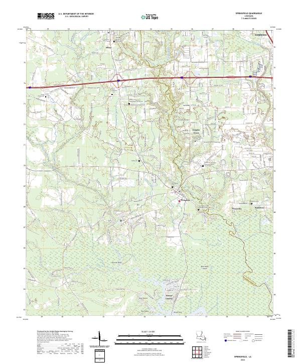
2024 Map of Springfield
USGS Topo · Published 2024About this map
Springfield serves as a central hub in this survey of Livingston and Tangipahoa Parishes, where the Blood River and Natalbany River systems converge. The map documents a significant density of cultural and religious sites, particularly around Albany, including the Albany Hungarian Presbyterian Church and its associated Cem. These labels reflect the unique ethnic heritage of the area's early 20th-century settlement. Southward, the landscape transitions toward the low-lying wetlands of Brier Patch Island and Jack Island. Along the water, the presence of Warsaw Landing and Romes Ferry indicates the historical importance of river transport and crossing points that predated modern bridge infrastructure. The road network, including the Old Baton Rouge Hwy and Strawberry Ln, connects established communities like Pumpkin Center and Rosaryville to the surrounding timber and agricultural lands.
Find a feature on this map
68 named features on this map. Tap any name to fly to it.
Don’t see what you’re looking for? This feature index may not catch every label — zoom into the map to look around manually.
Map Details
Editions of this 2024 Springfield Map
This is the sole edition of this map. No revisions or reprints were ever made.
Other maps of this area

1934 · Springfield
USGS Topo · 1:62,500

1935 · Ponchatoula
USGS Topo · 1:62,500

1939 · Ponchatoula
USGS Topo · 1:62,500

1939 · Springfield
USGS Topo · 1:62,500

1940 · Tickfaw
USGS Topo · 1:31,680

1949 · Albany
USGS Topo · 1:31,680

1950 · Doyle
USGS Topo · 1:31,680

1951 · Ponchatoula
USGS Topo · 1:62,500

1954 · Baton Rouge
USGS Topo · 1:250,000

1956 · Baton Rouge
USGS Topo · 1:250,000