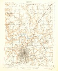
1930 Map of Springfield
USGS Topo · Published 1930About this map
Springfield sits at the heart of a dense transit network just before the height of the Great Depression, where numerous railroads like the Wabash Railroad and the Illinois Traction (Electric) converge. The map documents a transition in regional mobility, featuring the Lindbergh Air Mail Field and early designated routes such as State Highway No 24. Beyond the growing city limits, the landscape is defined by the winding course of the Sangamon River and its varied backwaters, including Horseshoe Lake and Mud Lake.
Find a feature on this map
94 named features on this map. Tap any name to fly to it.
Don’t see what you’re looking for? This feature index may not catch every label — zoom into the map to look around manually.
Map Details
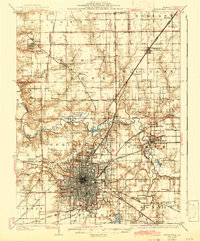
Editions of this 1930 Springfield Map
3 editions found

Other maps of this area

1907 · Springfield
USGS Topo · 1:62,500

1909 · Tallula
USGS Topo · 1:62,500

1911 · Lincoln
USGS Topo · 1:62,500

1913 · Lincoln
USGS Topo · 1:62,500

1922 · Divernon
USGS Topo · 1:62,500

1923 · Taylorville
USGS Topo · 1:62,500

1924 · Divernon
USGS Topo · 1:62,500

1924 · Waverly
USGS Topo · 1:62,500

1925 · Taylorville
USGS Topo · 1:62,500

1926 · Waverly
USGS Topo · 1:62,500