
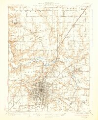
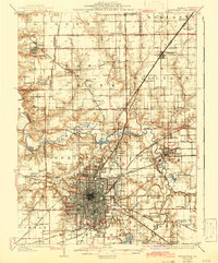
1930 Map of Springfield
USGS Topo · Published 1930About this map
Springfield sits at the heart of an intricate web of rail lines and early state highways, serving as the industrial and political hub of Sangamon County. The city's 1920s grid is bounded by notable landmarks like the State Fair Grounds and the historic Bunn Park, while the aviation era is represented by the Lindbergh Air Mail Field to the west. The surrounding landscape is defined by the winding course of the Sangamon River, which separates the city from northern settlements like Cantrall and Athens.
Find a feature on this map
103 named features on this map. Tap any name to fly to it.
Don’t see what you’re looking for? This feature index may not catch every label — zoom into the map to look around manually.
Map Details
Editions of this 1930 Springfield Map
3 editions found
Other maps of this area

1907 · Springfield
USGS Topo · 1:62,500

1909 · Tallula
USGS Topo · 1:62,500

1911 · Lincoln
USGS Topo · 1:62,500

1913 · Lincoln
USGS Topo · 1:62,500

1922 · Divernon
USGS Topo · 1:62,500

1923 · Taylorville
USGS Topo · 1:62,500

1924 · Divernon
USGS Topo · 1:62,500

1924 · Waverly
USGS Topo · 1:62,500

1925 · Taylorville
USGS Topo · 1:62,500

1926 · Waverly
USGS Topo · 1:62,500