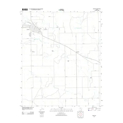
2012 Map of Spur
USGS Topo · Published 2012About this map
Spur serves as the primary hub in this West Texas landscape, where the street grid is anchored by thoroughfares such as Burlington Ave and Williams Ave. Just to the west lies the settlement of Dockum, situated near the headwaters of Dockum Cr. The area's water management is evident through the Soil Conservation Service Site 12 Reservoir, reflecting the region's reliance on strategic drainage and storage along the Duck Cr basin.
Find a feature on this map
54 named features on this map. Tap any name to fly to it.
Don’t see what you’re looking for? This feature index may not catch every label — zoom into the map to look around manually.
Map Details
Editions of this 2012 Spur Map
This is the sole edition of this map. No revisions or reprints were ever made.
Other maps of this area

1954 · Lubbock
USGS Topo · 1:250,000
1959 · Gilpin
USGS Topo · 1:24,000
1959 · Girard
USGS Topo · 1:24,000
1967 · Dickens South
USGS Topo · 1:24,000
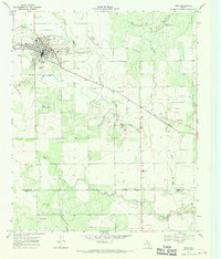
1967 · Spur
USGS Topo · 1:24,000
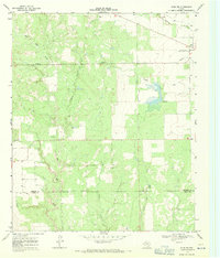
1967 · Spur NW
USGS Topo · 1:24,000
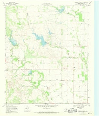
1968 · Foreman Chapel
USGS Topo · 1:24,000
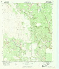
1968 · Spur SW
USGS Topo · 1:24,000
1968 · White Camp
USGS Topo · 1:24,000
1968 · Croton Camp
USGS Topo · 1:24,000