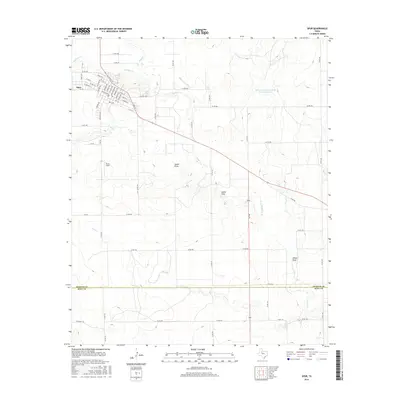
2016 Map of Spur
USGS Topo · Published 2016About this map
Spur sits at the northwestern corner of this West Texas landscape, serving as a concentrated hub of settlement amidst a vast network of draws and creeks. The town's grid is clearly defined by streets such as Granite St and W Hill St, with Travis Field positioned just to the southwest. The terrain is dominated by the erosive patterns of the Rolling Plains, where Dockum Cr and Duck Cr carve through the land toward the southeast. To the east of town, the Soil Conservation Service Site 12 Reservoir indicates local water management efforts in this semi-arid region. Further south, the landscape becomes increasingly defined by topographic features like the Steele Hills and broad drainage passages including Spade Draw and Wilson Draw, reflecting a classic cattle-country geography at the transition between the High Plains and the Caprock.
Find a feature on this map
44 named features on this map. Tap any name to fly to it.
Don’t see what you’re looking for? This feature index may not catch every label — zoom into the map to look around manually.
Map Details
Editions of this 2016 Spur Map
This is the sole edition of this map. No revisions or reprints were ever made.
Other maps of this area

1954 · Lubbock
USGS Topo · 1:250,000
1959 · Gilpin
USGS Topo · 1:24,000
1959 · Girard
USGS Topo · 1:24,000
1967 · Dickens South
USGS Topo · 1:24,000
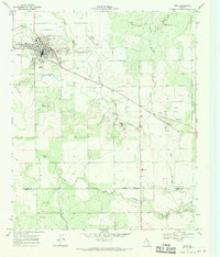
1967 · Spur
USGS Topo · 1:24,000
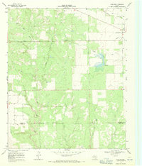
1967 · Spur NW
USGS Topo · 1:24,000
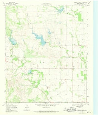
1968 · Foreman Chapel
USGS Topo · 1:24,000
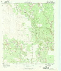
1968 · Spur SW
USGS Topo · 1:24,000
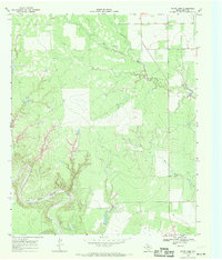
1968 · White Camp
USGS Topo · 1:24,000
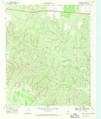
1968 · Croton Camp
USGS Topo · 1:24,000