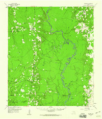
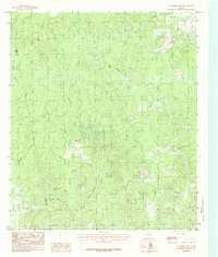
1958 Map of Spurger
USGS Topo · Published 1960This historical map portrays the area of Spurger in 1958, primarily covering Tyler County as well as portions of Jasper County and Hardin County. Featuring a scale of 1:62500, this map provides a highly detailed snapshot of the terrain, roads, buildings, counties, and historical landmarks in the Spurger region at the time. Published in 1960, it is one of 2 known editions of this map due to revisions or reprints.
Find a feature on this map
53 named features on this map. Tap any name to fly to it.
Don’t see what you’re looking for? This feature index may not catch every label — zoom into the map to look around manually.
Map Details
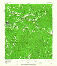
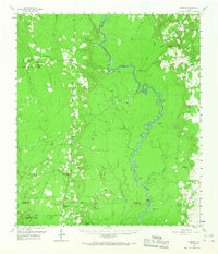
Editions of this 1958 Spurger Map
2 editions found
Historical Maps of Mount Union Through Time
11 maps found
1955 Camden
Tyler County, TX
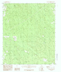
1958 Spurger
Tyler County, TX
1984 Boggy Lake
Tyler County, TX
1984 Chambliss Hill
Tyler County, TX
1984 Fred
Tyler County, TX
1984 Hicksbaugh
Tyler County, TX
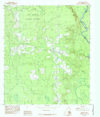
1984 Hillister
Tyler County, TX
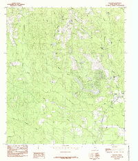
1984 Jacks Creek North
Tyler County, TX
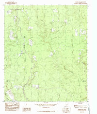
1984 Kirkpatrick Lake
Tyler County, TX
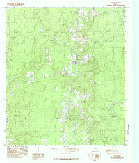
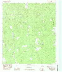
1984 Spurger
Tyler County, TX
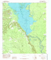
1984 Town Bluff
Tyler County, TX