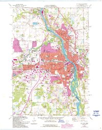
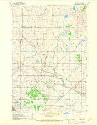
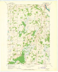
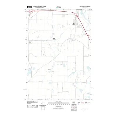
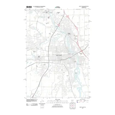
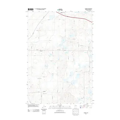
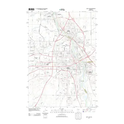
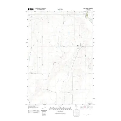
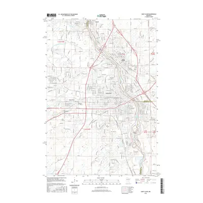
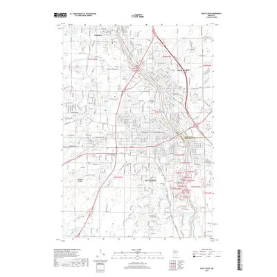
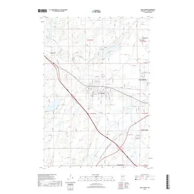
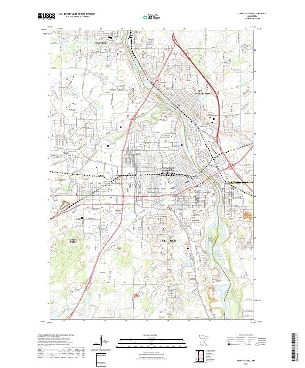
1974 Map of St Cloud
USGS Topo · Published 1993About this map
The Mississippi River and Sauk River define this mid-1970s landscape, charting the expansion of St Cloud and its neighboring communities. The map captures the significant presence of institutional and religious landmarks that shaped local life, from the St Cloud State College campus along the riverbanks to a high concentration of parochial schools and cemeteries like St Joseph Cem and Sacred Heart Cem.
Find a feature on this map
79 named features on this map. Tap any name to fly to it.
Don’t see what you’re looking for? This feature index may not catch every label — zoom into the map to look around manually.
Map Details
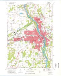
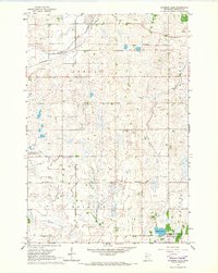
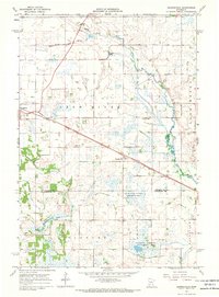
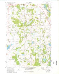
Editions of this 1974 St Cloud Map
2 editions found
Historical Maps of St. Cloud Through Time
57 maps found
1953 Saint Cloud
Stearns County, MN

1957 Saint Cloud
Stearns County, MN

1958 Saint Cloud
Stearns County, MN
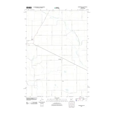
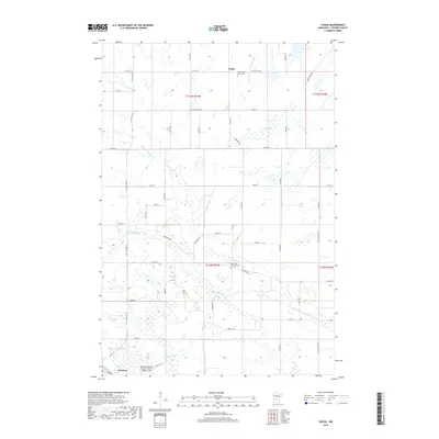
1965 Farming
Stearns County, MN
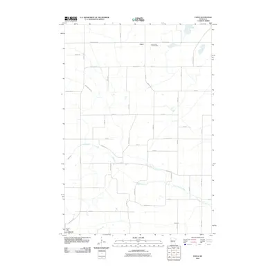
1965 Padua
Stearns County, MN
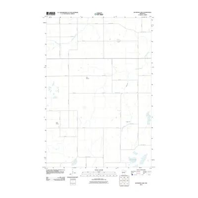
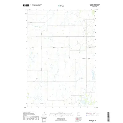
1965 Raymond Lake
Stearns County, MN
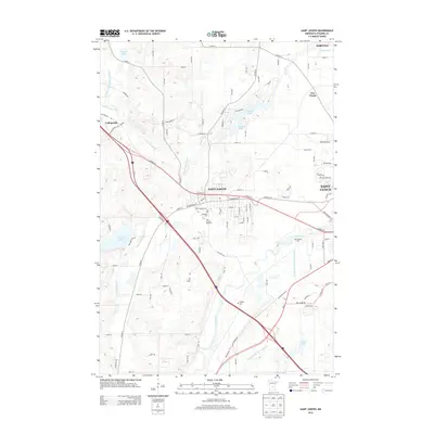
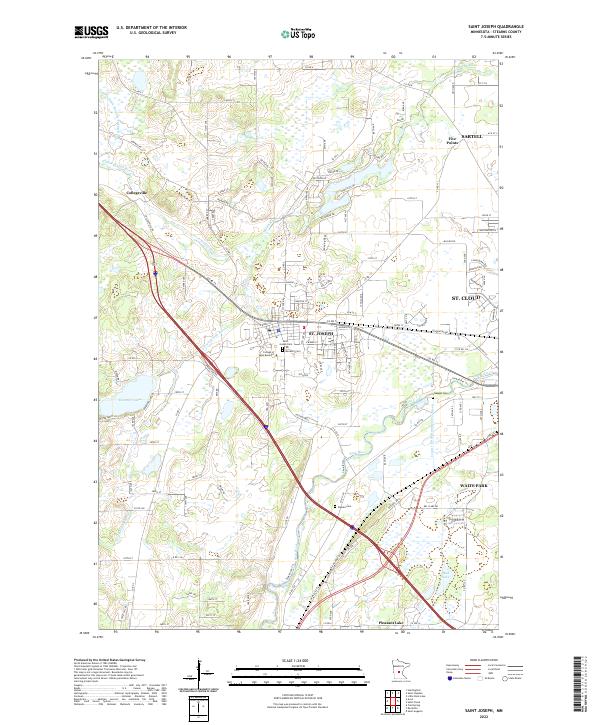
1965 St Joseph
Stearns County, MN
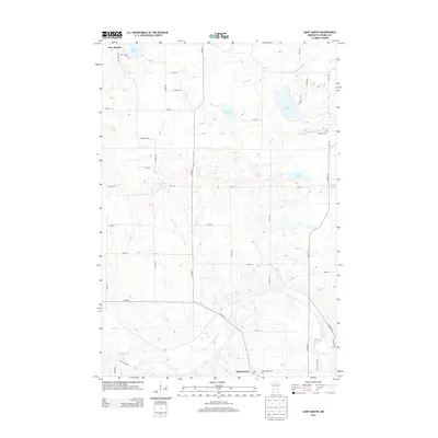
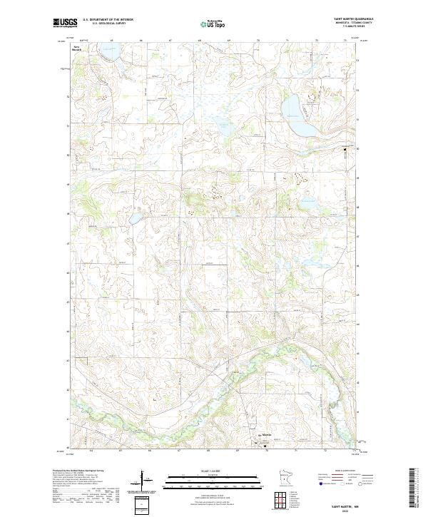
1965 St Martin
Stearns County, MN
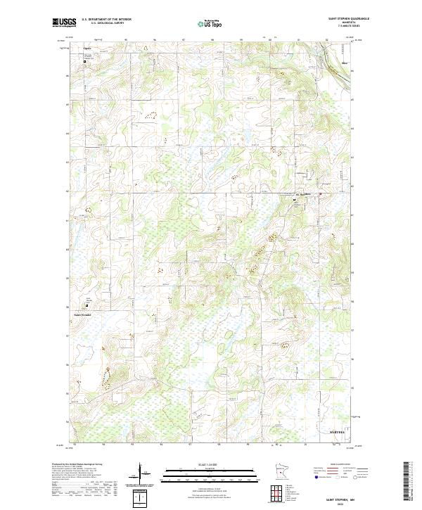
1965 St Stephen
Stearns County, MN
1967 Georgeville
Stearns County, MN
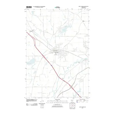
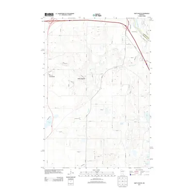
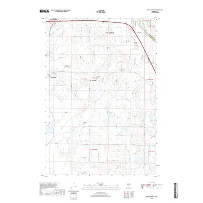
1974 St Augusta
Stearns County, MN
1974 St Cloud
Stearns County, MN
2010 Farming
Stearns County, MN
2010 Georgeville
Stearns County, MN
2010 Padua
Stearns County, MN
2010 Raymond Lake
Stearns County, MN
2010 Saint Augusta
Stearns County, MN
2010 Saint Cloud
Stearns County, MN
2010 Saint Joseph
Stearns County, MN
2010 Saint Martin
Stearns County, MN
2010 Saint Stephen
Stearns County, MN
2013 Farming
Stearns County, MN
2013 Georgeville
Stearns County, MN
2013 Padua
Stearns County, MN
2013 Raymond Lake
Stearns County, MN
2013 Saint Augusta
Stearns County, MN
2013 Saint Cloud
Stearns County, MN
2013 Saint Joseph
Stearns County, MN
2013 Saint Martin
Stearns County, MN
2013 Saint Stephen
Stearns County, MN
2016 Farming
Stearns County, MN
2016 Georgeville
Stearns County, MN
2016 Padua
Stearns County, MN
2016 Raymond Lake
Stearns County, MN
2016 Saint Augusta
Stearns County, MN
2016 Saint Cloud
Stearns County, MN
2016 Saint Joseph
Stearns County, MN
2016 Saint Martin
Stearns County, MN
2016 Saint Stephen
Stearns County, MN
2019 Farming
Stearns County, MN
2019 Georgeville
Stearns County, MN
2019 Padua
Stearns County, MN
2019 Raymond Lake
Stearns County, MN
2019 Saint Augusta
Stearns County, MN
2019 Saint Cloud
Stearns County, MN
2019 Saint Joseph
Stearns County, MN
2019 Saint Martin
Stearns County, MN
2019 Saint Stephen
Stearns County, MN
2022 Farming
Stearns County, MN
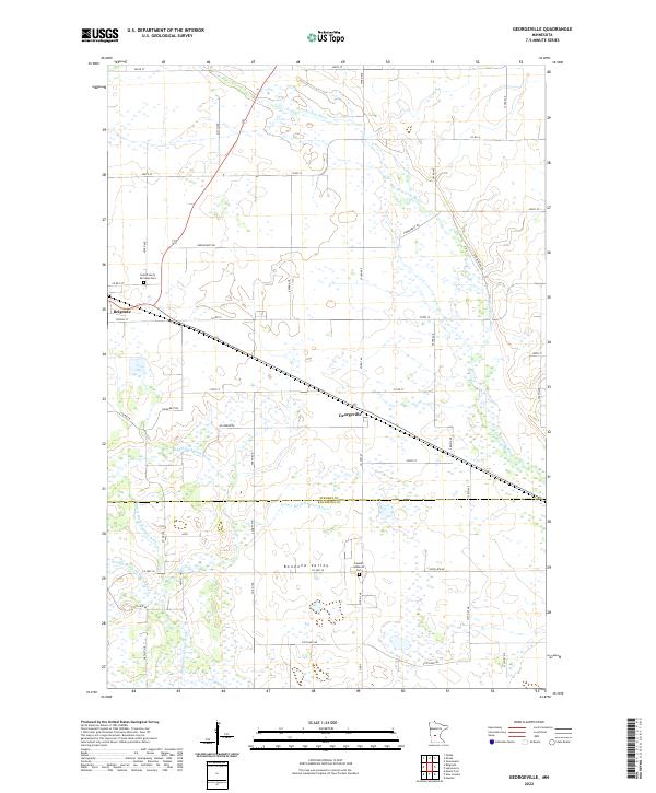
2022 Georgeville
Stearns County, MN
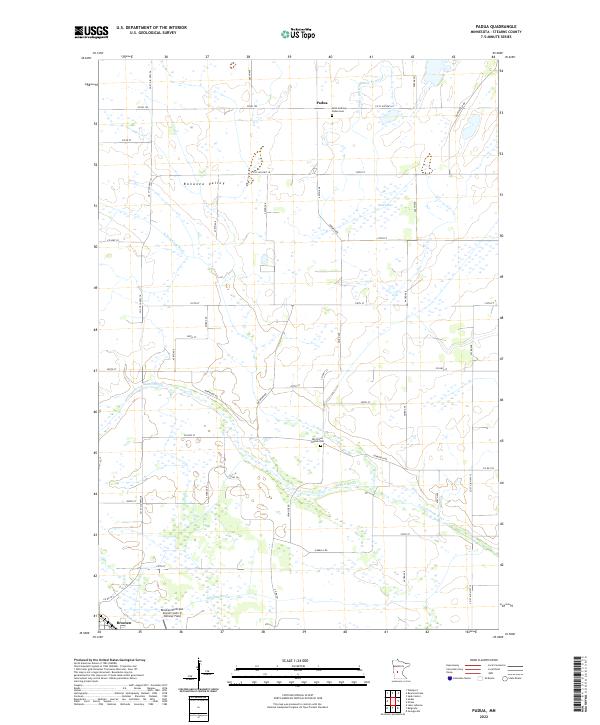
2022 Padua
Stearns County, MN
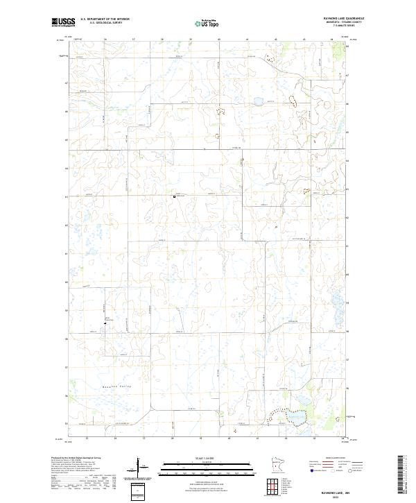
2022 Raymond Lake
Stearns County, MN
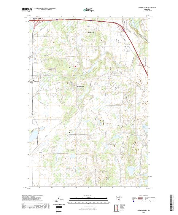
2022 Saint Augusta
Stearns County, MN
2022 Saint Cloud
Stearns County, MN
2022 Saint Joseph
Stearns County, MN
2022 Saint Martin
Stearns County, MN
2022 Saint Stephen
Stearns County, MN