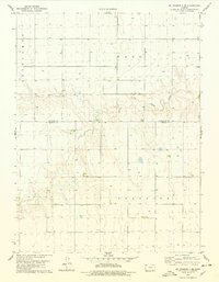
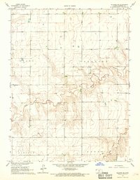
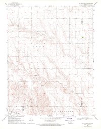
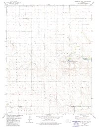
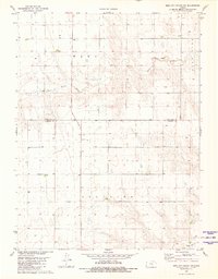
1978 Map of St. Francis 3 SE
USGS Topo · Published 1978This historical map portrays the area of St. Francis 3 SE in 1978, primarily covering Sherman County as well as portions of Cheyenne County. Featuring a scale of 1:24000, this map provides a highly detailed snapshot of the terrain, roads, buildings, counties, and historical landmarks in the St. Francis 3 SE region at the time. Published in 1978, it is one of 2 known editions of this map due to revisions or reprints.
Map Details
Editions of this 1978 St. Francis 3 SE Map
2 editions found
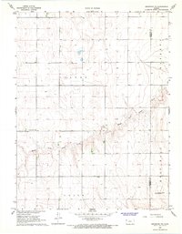
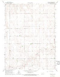
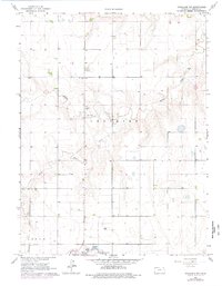
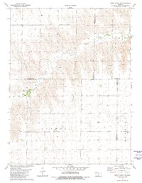
Historical Maps of Sherman County Through Time
17 maps found
1966 Brewster NW
Sherman County, KS
1966 Goodland NE
Sherman County, KS
1966 Goodland NW
Sherman County, KS
1966 Ruleton NE
Sherman County, KS
1966 Ruleton NW
Sherman County, KS
1966 Ruleton SE
Sherman County, KS
1966 Ruleton
Sherman County, KS
1969 Mc Allaster NW
Sherman County, KS
1978 South of Crosby Creek
Sherman County, KS
1978 South of Drury Creek
Sherman County, KS
1979 Harris Draw NE
Sherman County, KS
1979 Horsethief Draw NE
Sherman County, KS
1979 Horsethief Draw NW
Sherman County, KS
1979 Wild Horse Draw
Sherman County, KS
1981 Bird City South SE
Sherman County, KS
1981 Bird City South SW
Sherman County, KS
1981 Dewey Ranch SW
Sherman County, KS