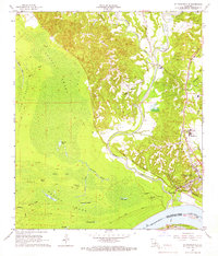
1965 Map of St. Francisville
USGS Topo · Published 1966About this map
The Mississippi River defines the southern boundary of this Louisiana landscape, where the historic town of St Francisville sits atop high ground overlooking the alluvial lowlands. The geography is split between the dense Tunica Swamp, filled with water bodies like Blackfork Lake and Tunica Lake, and the rolling eastern uplands marked by deep ravines and bayous. The 1960s cultural footprint reveals a transition between old river-and-rail industry and emerging local infrastructure, evidenced by the Illinois Central Railroad route and the Dipple-Enette Airport.
Find a feature on this map
53 named features on this map. Tap any name to fly to it.
Don’t see what you’re looking for? This feature index may not catch every label — zoom into the map to look around manually.
Map Details
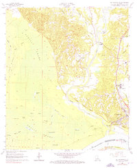
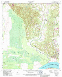
Editions of this 1965 St. Francisville Map
3 editions found
Other maps of this area

1906 · Bayou Sara
USGS Topo · 1:125,000

1939 · St. Francisville
USGS Topo · 1:62,500

1939 · Fordoche
USGS Topo · 1:62,500

1941 · Batchelor
USGS Topo · 1:62,500

1953 · New Roads
USGS Topo · 1:24,000

1954 · Port Hudson
USGS Topo · 1:24,000

1954 · Elm Park
USGS Topo · 1:24,000

1954 · Baton Rouge
USGS Topo · 1:250,000

1955 · Fordoche
USGS Topo · 1:62,500

1955 · Batchelor
USGS Topo · 1:62,500
Featured Places
- Saint Francisville, St. Francisville
- St. Francisville, LA
- Bains, LA
- Solitude, LA
- Pointe Coupee Parish, LA