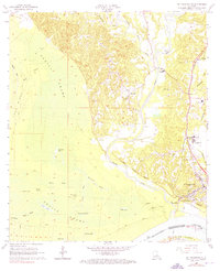
1965 Map of St. Francisville
USGS Topo · Published 1976About this map
The Mississippi River and the rugged bluffs above it define this mid-1960s view of West Feliciana Parish. The town of St Francisville sits atop the high ground overlooking Bayou Sara, its landscape marked by several prominent burial grounds including Grace Cemetery and the Hebrew Rest Cemetery. Moving inland from the river, the terrain transitions into the dense bottomlands of the Tunica Swamp, where numerous seasonal lakes like Blackfork Lake and Lake Platt are found alongside Cane Ridge.
Find a feature on this map
46 named features on this map. Tap any name to fly to it.
Don’t see what you’re looking for? This feature index may not catch every label — zoom into the map to look around manually.
Map Details
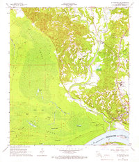
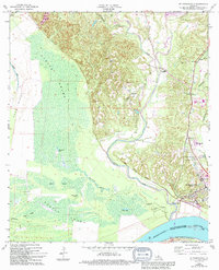
Editions of this 1965 St. Francisville Map
3 editions found
Other maps of this area

1906 · Bayou Sara
USGS Topo · 1:125,000

1939 · St. Francisville
USGS Topo · 1:62,500

1939 · Fordoche
USGS Topo · 1:62,500

1941 · Batchelor
USGS Topo · 1:62,500

1953 · New Roads
USGS Topo · 1:24,000

1954 · Port Hudson
USGS Topo · 1:24,000

1954 · Elm Park
USGS Topo · 1:24,000

1954 · Baton Rouge
USGS Topo · 1:250,000

1955 · Fordoche
USGS Topo · 1:62,500

1955 · Batchelor
USGS Topo · 1:62,500
Featured Places
- Saint Francisville, St. Francisville
- St. Francisville, LA
- Bains, LA
- Solitude, LA
- Pointe Coupee Parish, LA