
1964 Map of St Lawrence
USGS Topo · Published 1964About this map
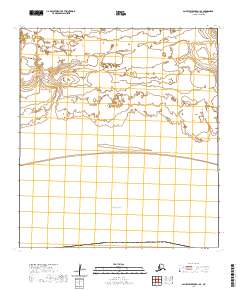
Gambell and Savoonga anchor this mid-century survey of St. Lawrence Island, an environment dominated by volcanic topography and coastal lagoons. The central Kookooligit Mountains rise above a landscape marked by seasonal activity, where seasonal outposts like Siknik Trapping Camp and Reindeer Camp indicate the traditional subsistence patterns of the era. The island's deep history is explicitly noted at the Kookoolik (Old Village Site) near Kookoolik Cape, providing a point of reference for ancestral Yupik settlements. Along the complex shoreline, features such as Niyrakpak Lagoon and the Kongkok Basin define the drainage and hunting grounds. This 1964 edition reflects data compiled from late 1940s Army Map Service records and coastal hydrography by the Usc&GS, documenting the remote geography before modern shifts in northern maritime infrastructure.
Find a feature on this map
71 named features on this map. Tap any name to fly to it.
Don’t see what you’re looking for? This feature index may not catch every label — zoom into the map to look around manually.
Map Details
Editions of this 1964 St Lawrence Map
This is the sole edition of this map. No revisions or reprints were ever made.
Other maps of this area

1948 · St Lawrence
USGS Topo · 1:250,000

1949 · St Lawrence
USGS Topo · 1:250,000
2020 · Saint Lawrence A-0 NW
USGS Topo · 1:25,000
2020 · Saint Lawrence B-5 NW
USGS Topo · 1:25,000

2020 · Saint Lawrence C-4 NE
USGS Topo · 1:25,000

2020 · Saint Lawrence D-5 SW
USGS Topo · 1:25,000
2020 · Saint Lawrence B-0 NE
USGS Topo · 1:25,000

2020 · Saint Lawrence C-4 SE
USGS Topo · 1:25,000
2020 · Saint Lawrence A-2 NE
USGS Topo · 1:25,000
2020 · Saint Lawrence B-1 SE
USGS Topo · 1:25,000