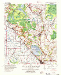
1939 Map of St. Martinsville
USGS Topo · Published 1955About this map
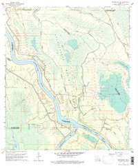
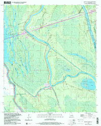
Bayou Teche winds through the heart of the Acadiana region in this late 1930s survey, anchoring a landscape defined by its complex water systems and plantation heritage. The map documents the intricate network of the Evangeline Drainage Canal and the Cypress Island Coulee Canal, which supported the agricultural economy of the day. Prominent holdings like the Banker Plantation, Romero Plantation, and Interlachen Plantation are clearly marked, illustrating the distribution of land along the fertile bayou banks.
Find a feature on this map
96 named features on this map. Tap any name to fly to it.
Don’t see what you’re looking for? This feature index may not catch every label — zoom into the map to look around manually.
Map Details
Editions of this 1939 St. Martinsville Map
2 editions found

Historical Maps of Lafayette Through Time
46 maps found
1939 St. Martinsville
St. Martin Parish, LA

1948 Foster
St. Martin Parish, LA
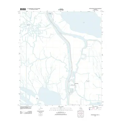
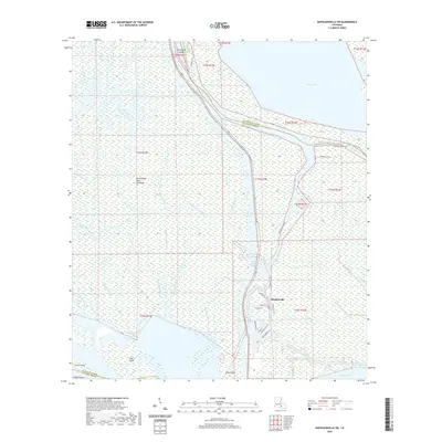
1966 Napoleonville SW
St. Martin Parish, LA
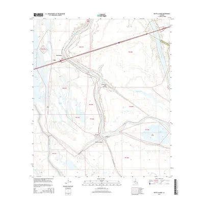
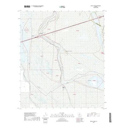
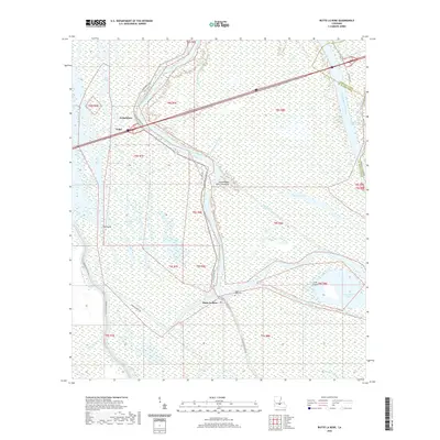
1968 Butte La Rose
St. Martin Parish, LA
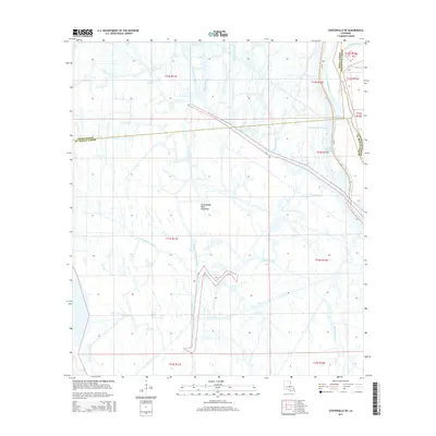
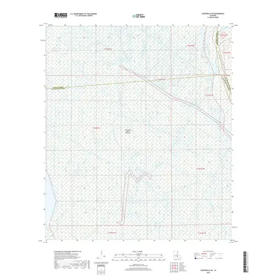
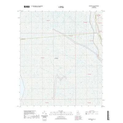
1969 Centerville NE
St. Martin Parish, LA
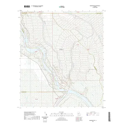
1969 Maringouin NW
St. Martin Parish, LA
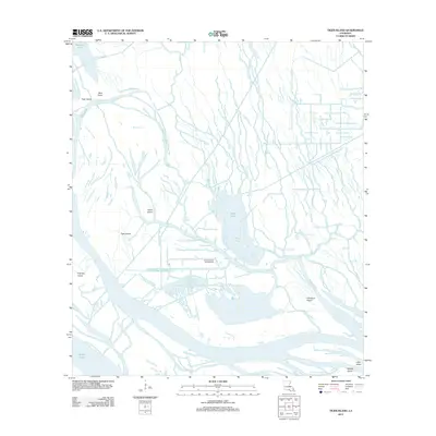
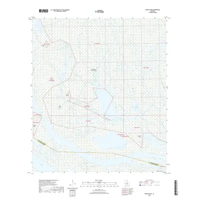
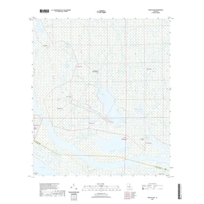
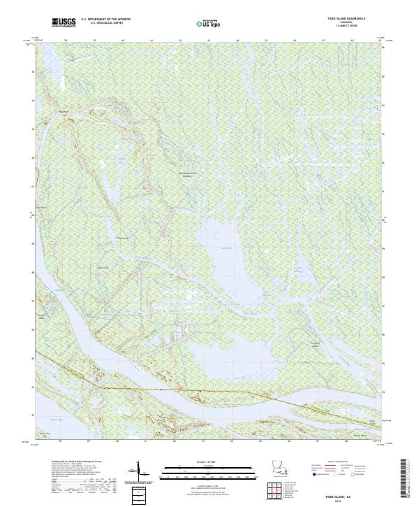
1969 Tiger Island
St. Martin Parish, LA
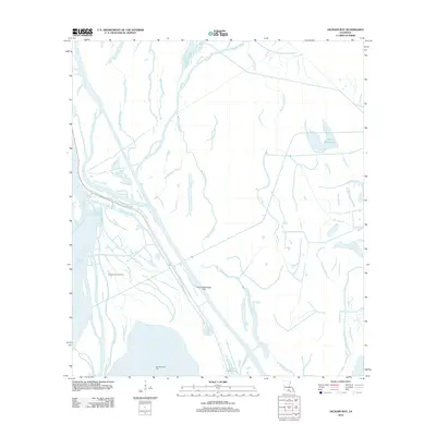
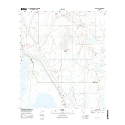
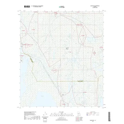
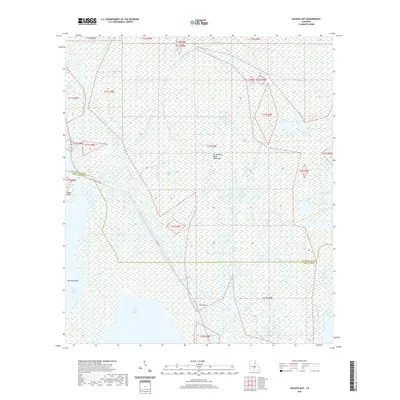
1973 Jackass Bay
St. Martin Parish, LA
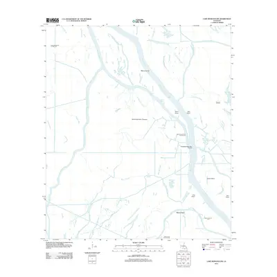
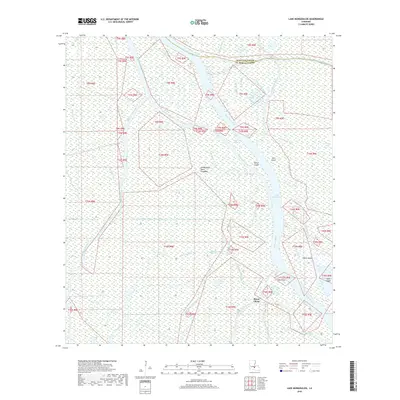
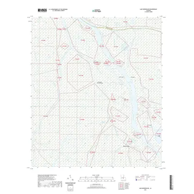
1973 Lake Mongoulois
St. Martin Parish, LA
1999 Butte La Rose
St. Martin Parish, LA
1999 Maringouin NW
St. Martin Parish, LA
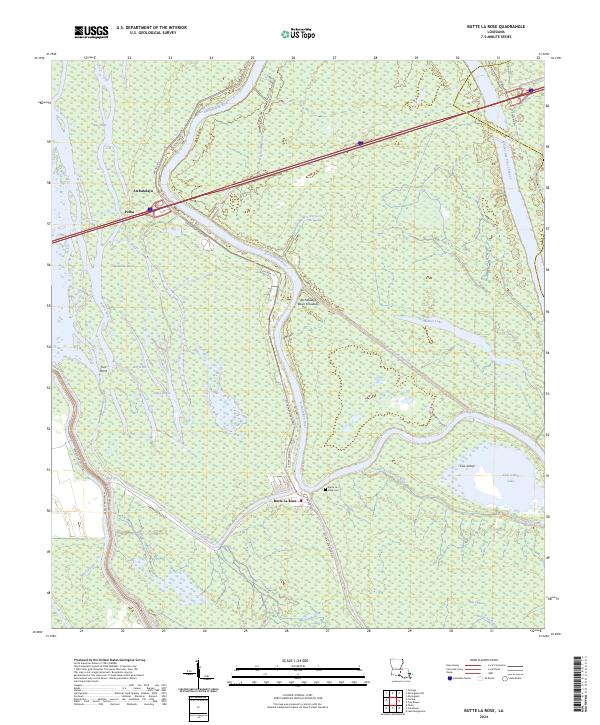
2012 Butte La Rose
St. Martin Parish, LA
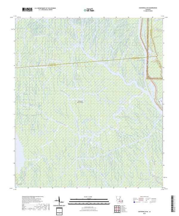
2012 Centerville NE
St. Martin Parish, LA
2012 Jackass Bay
St. Martin Parish, LA
2012 Lake Mongoulois
St. Martin Parish, LA
2012 Maringouin NW
St. Martin Parish, LA
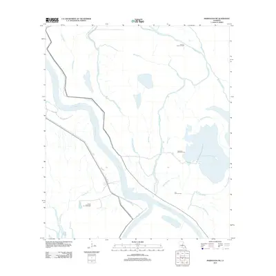
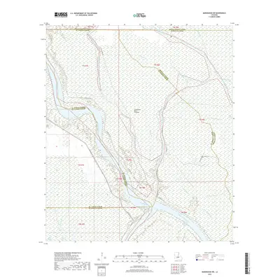
2012 Napoleonville SW
St. Martin Parish, LA
2012 Tiger Island
St. Martin Parish, LA
2015 Butte La Rose
St. Martin Parish, LA
2015 Centerville NE
St. Martin Parish, LA
2015 Jackass Bay
St. Martin Parish, LA
2015 Lake Mongoulois
St. Martin Parish, LA
2015 Maringouin NW
St. Martin Parish, LA
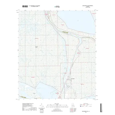
2015 Napoleonville SW
St. Martin Parish, LA
2015 Tiger Island
St. Martin Parish, LA
2018 Butte La Rose
St. Martin Parish, LA
2018 Centerville NE
St. Martin Parish, LA
2018 Jackass Bay
St. Martin Parish, LA
2018 Lake Mongoulois
St. Martin Parish, LA
2018 Maringouin NW
St. Martin Parish, LA
2018 Napoleonville SW
St. Martin Parish, LA
2018 Tiger Island
St. Martin Parish, LA
2020 Butte La Rose
St. Martin Parish, LA
2020 Centerville NE
St. Martin Parish, LA
2020 Jackass Bay
St. Martin Parish, LA
2020 Lake Mongoulois
St. Martin Parish, LA
2020 Maringouin NW
St. Martin Parish, LA
2020 Napoleonville SW
St. Martin Parish, LA
2020 Tiger Island
St. Martin Parish, LA
2024 Butte La Rose
St. Martin Parish, LA
2024 Centerville NE
St. Martin Parish, LA
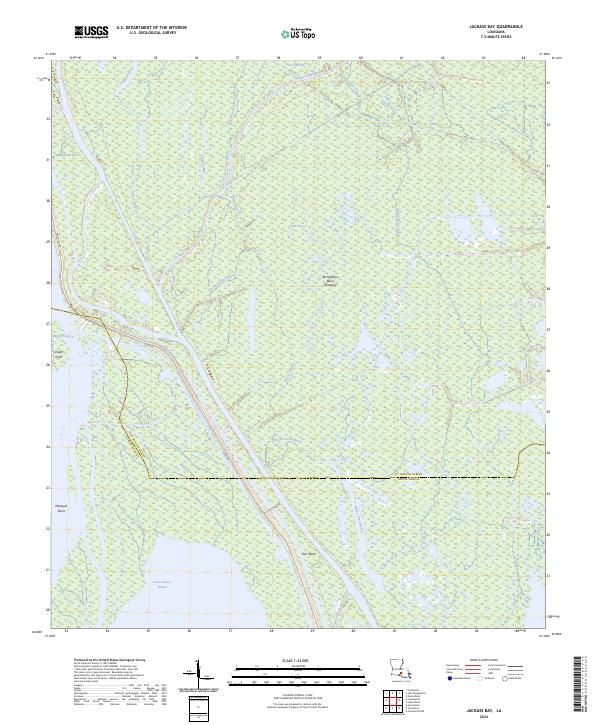
2024 Jackass Bay
St. Martin Parish, LA
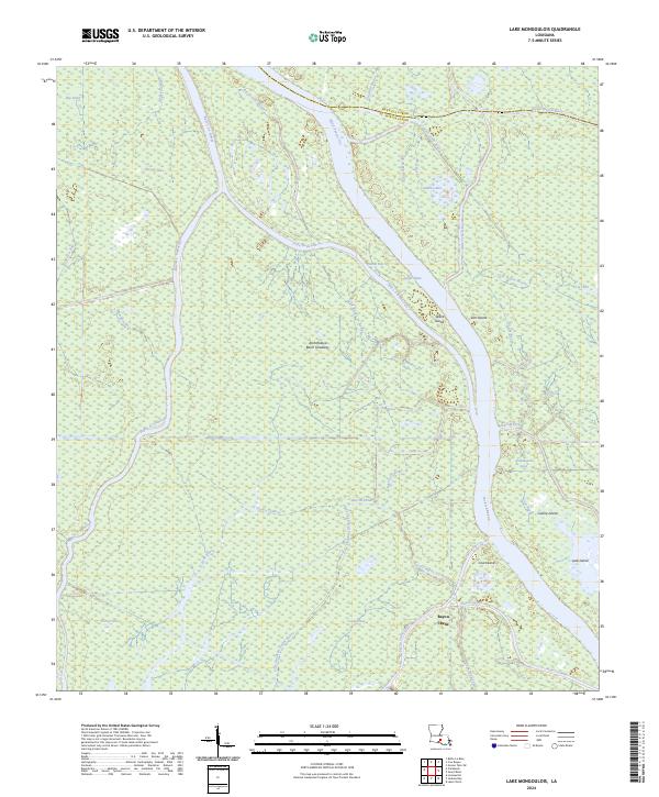
2024 Lake Mongoulois
St. Martin Parish, LA
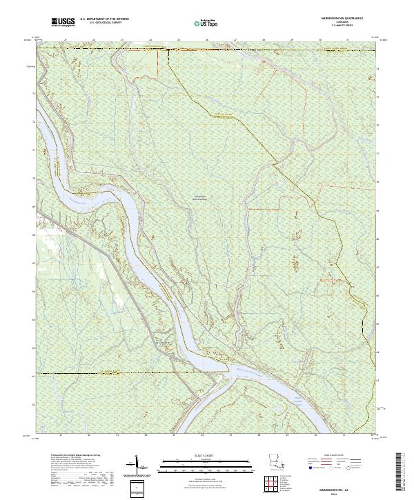
2024 Maringouin NW
St. Martin Parish, LA
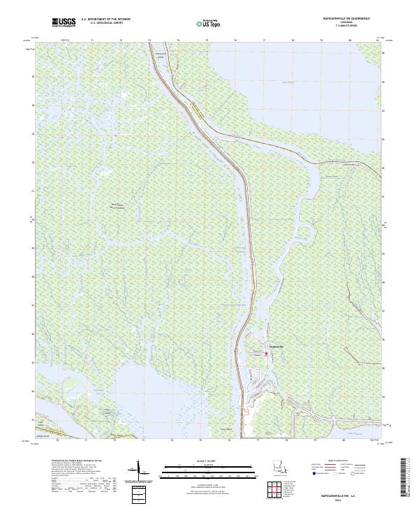
2024 Napoleonville SW
St. Martin Parish, LA
2024 Tiger Island
St. Martin Parish, LA