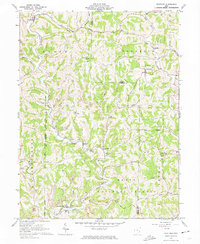
1961 Map of Stafford
USGS Topo · Published 1974About this map
Stafford and Harrietsville anchor this 1961 survey of the borderlands between Noble and Monroe counties. The landscape is defined by the winding valley of East Fork Duck Creek and its many tributaries, including Elk Fork and Scioto Fork Duck Creek. Rural life in this era was organized around small upland ridges and creek bottoms, evidenced by numerous local landmarks like Crum Ridge Ch, Mt Tabor Ch, and the Township Sch.
Find a feature on this map
43 named features on this map. Tap any name to fly to it.
Don’t see what you’re looking for? This feature index may not catch every label — zoom into the map to look around manually.
Map Details
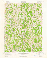
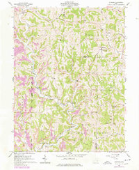
Editions of this 1961 Stafford Map
3 editions found
Other maps of this area

1903 · Macksburg
USGS Topo · 1:62,500

1905 · New Matamoras
USGS Topo · 1:62,500

1905 · Woodsfield
USGS Topo · 1:62,500

1905 · Macksburg
USGS Topo · 1:62,500

1909 · Summerfield
USGS Topo · 1:62,500

1911 · Summerfield
USGS Topo · 1:62,500

1924 · New Matamoras
USGS Topo · 1:62,500

1926 · New Matamoras
USGS Topo · 1:62,500

1949 · Clarksburg
USGS Topo · 1:250,000

1956 · Clarksburg
USGS Topo · 1:250,000