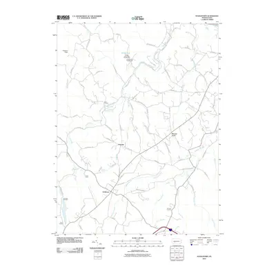
2010 Map of Stahlstown
USGS Topo · Published 2010About this map
Loyalhanna Creek winds through this Westmoreland County landscape, shaping a valley defined by small crossroads settlements and rugged high ground. Stahlstown serves as a central hub where several state routes converge, including Route 130 and Route 711. To the west, the steep rise of Chestnut Ridge marks the topography, while the eastern reaches are characterized by numerous small watercourses like Powdermill Run and White Oak Run.
Find a feature on this map
78 named features on this map. Tap any name to fly to it.
Don’t see what you’re looking for? This feature index may not catch every label — zoom into the map to look around manually.
Map Details
Editions of this 2010 Stahlstown Map
This is the sole edition of this map. No revisions or reprints were ever made.
Other maps of this area

1900 · Latrobe
USGS Topo · 1:62,500

1902 · Latrobe
USGS Topo · 1:62,500

1903 · Latrobe
USGS Topo · 1:62,500

1913 · Somerset
USGS Topo · 1:62,500

1915 · Somerset
USGS Topo · 1:62,500

1920 · New Florence
USGS Topo · 1:62,500

1921 · New Florence
USGS Topo · 1:48,000

1922 · Donegal
USGS Topo · 1:62,500

1922 · New Florence
USGS Topo · 1:62,500

1935 · Donegal
USGS Topo · 1:62,500
Featured Places
- Donegal Township, PA
- Stahlstown, Cook Township
- Mansville, Cook Township
- Unity Township, PA
- Pleasant Grove, Cook Township