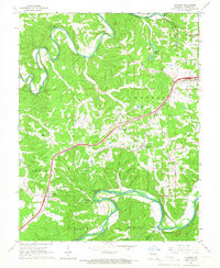
1965 Map of Stanton
USGS Topo · Published 1967About this map
The St Louis-San Francisco railroad line cuts a sharp path through the winding river valleys of Franklin County in the mid-1960s, connecting the settlements of Stanton and Anaconda. This landscape is defined by the dramatic meanders of the Bourbeuse River to the north and the Meramec River to the south, where the terrain is heavily dissected by numerous hollows like Dutch Hollow and Iron Hollow. Local community life is centered around rural landmarks such as Anaconda Chapel, Gum Rock Hill Ch, and several family and church burial grounds including Kemper Cem and Green Mound Ch Cem. The southern portion of the map is dominated by the northern reaches of Meramec State Park, featuring notable natural sites like Roaring Spring Cave and Twin Springs, alongside the curiously named International Friendship Park.
Find a feature on this map
35 named features on this map. Tap any name to fly to it.
Don’t see what you’re looking for? This feature index may not catch every label — zoom into the map to look around manually.
Map Details
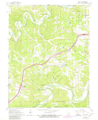
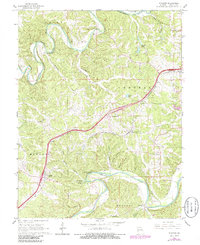
Editions of this 1965 Stanton Map
3 editions found
Other maps of this area

1901 · De Soto
USGS Topo · 1:125,000

1903 · Sullivan
USGS Topo · 1:125,000

1934 · Meramec State Park
USGS Topo · 1:24,000

1937 · Meramec State Park
USGS Topo · 1:24,000

1946 · Richwoods
USGS Topo · 1:62,500

1946 · Union
USGS Topo · 1:62,500

1947 · Sullivan
USGS Topo · 1:62,500

1947 · St. Clair
USGS Topo · 1:62,500

1948 · Richwoods
USGS Topo · 1:62,500

1948 · Union
USGS Topo · 1:62,500