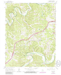
1965 Map of Stanton
USGS Topo · Published 1986About this map
The Meramec River and Bourbeuse River carve deep, winding paths through this Franklin County landscape, framing a region defined by its caves and springs. Near the settlement of Stanton, the terrain is marked by notable subterranean features like Roaring Spring Cave and Bat Cave, while Twin Springs Spring feeds into the complex drainage of Twin Springs Hollow. The corridor of the St Louis-San Francisco railroad and the highway network connect the small community of Anaconda to the surrounding hills. Local history is anchored by sites such as Rock Hill Ch, Anaconda Chapel, and Green Mound Ch Cem. The eastern portion of the map highlights recreational and conservation areas, including Meramec State Park and International Friendship Park, showing the land's transition from early Mines and gravel extraction to a focus on its natural riverfront assets.
Find a feature on this map
34 named features on this map. Tap any name to fly to it.
Don’t see what you’re looking for? This feature index may not catch every label — zoom into the map to look around manually.
Map Details
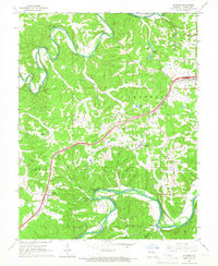
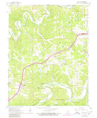
Editions of this 1965 Stanton Map
3 editions found
Other maps of this area

1901 · De Soto
USGS Topo · 1:125,000

1903 · Sullivan
USGS Topo · 1:125,000

1934 · Meramec State Park
USGS Topo · 1:24,000

1937 · Meramec State Park
USGS Topo · 1:24,000

1946 · Richwoods
USGS Topo · 1:62,500

1946 · Union
USGS Topo · 1:62,500

1947 · Sullivan
USGS Topo · 1:62,500

1947 · St. Clair
USGS Topo · 1:62,500

1948 · Richwoods
USGS Topo · 1:62,500

1948 · Union
USGS Topo · 1:62,500