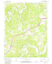
1965 Map of Stanton
USGS Topo · Published 1980About this map
The St. Louis - San Francisco railroad and a modern highway corridor carve through the wooded ridges of Franklin County, following the high ground between the Bourbeuse River and the Meramec River. This mid-century landscape shows the transition from rural agricultural life to a more recreation-oriented economy, anchored by Meramec State Park in the south and the International Friendship Park further east.
Find a feature on this map
39 named features on this map. Tap any name to fly to it.
Don’t see what you’re looking for? This feature index may not catch every label — zoom into the map to look around manually.
Map Details
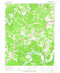
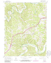
Editions of this 1965 Stanton Map
3 editions found
Other maps of this area

1901 · De Soto
USGS Topo · 1:125,000

1903 · Sullivan
USGS Topo · 1:125,000

1934 · Meramec State Park
USGS Topo · 1:24,000

1937 · Meramec State Park
USGS Topo · 1:24,000

1946 · Richwoods
USGS Topo · 1:62,500

1946 · Union
USGS Topo · 1:62,500

1947 · Sullivan
USGS Topo · 1:62,500

1947 · St. Clair
USGS Topo · 1:62,500

1948 · Richwoods
USGS Topo · 1:62,500

1948 · Union
USGS Topo · 1:62,500