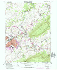
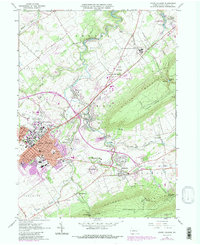
1962 Map of State College
USGS Topo · Published 1987About this map
Pennsylvania State University sits at the heart of this mid-century landscape, showing the massive footprint of the University Park campus alongside the burgeoning grid of State College. The map captures a moment of significant transition, with 1980s updates in purple revealing the expansion of residential neighborhoods like Harris Acres and Panorama Village. To the east, the village of Boalsburg preserves its historic character near the 28th Division Memorial Shrine, while the industrial and transportation corridor follows the Conrail line past Lemont and Houserville.
Find a feature on this map
56 named features on this map. Tap any name to fly to it.
Don’t see what you’re looking for? This feature index may not catch every label — zoom into the map to look around manually.
Map Details
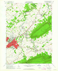
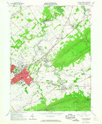
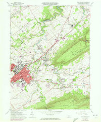
Editions of this 1962 State College Map
5 editions found
Other maps of this area

1908 · Bellefonte
USGS Topo · 1:62,500

1909 · Bellefonte
USGS Topo · 1:62,500

1919 · Menno
USGS Topo · 1:62,500

1924 · Centre Hall
USGS Topo · 1:62,500

1924 · Lewistown
USGS Topo · 1:62,500

1927 · Lewisburg
USGS Topo · 1:62,500

1929 · Centre Hall
USGS Topo · 1:62,500

1935 · Allensville
USGS Topo · 1:62,500

1938 · Allensville
USGS Topo · 1:62,500

1943 · Lewistown
USGS Topo · 1:125,000