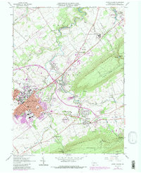
1962 Map of State College
USGS Topo · Published 1987About this map
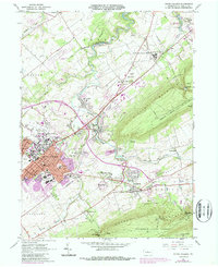
Pennsylvania State University dominates the central landscape of this 1960s era survey, centered on the growing borough of State College. The university's footprint is clearly defined, featuring landmarks like Beaver Stadium and the specialized University Park campus areas. Beyond the academic core, the map captures a transition from urban development to institutional and agricultural land use, anchored by the massive State Correctional Institution and the Pleasant Gap State Fish Hatchery to the northeast.
Find a feature on this map
62 named features on this map. Tap any name to fly to it.
Don’t see what you’re looking for? This feature index may not catch every label — zoom into the map to look around manually.
Map Details
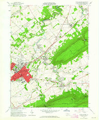
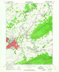
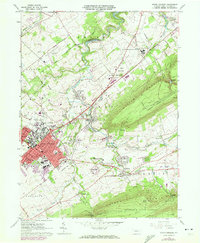
Editions of this 1962 State College Map
5 editions found
Other maps of this area

1908 · Bellefonte
USGS Topo · 1:62,500

1909 · Bellefonte
USGS Topo · 1:62,500

1919 · Menno
USGS Topo · 1:62,500

1924 · Centre Hall
USGS Topo · 1:62,500

1924 · Lewistown
USGS Topo · 1:62,500

1927 · Lewisburg
USGS Topo · 1:62,500

1929 · Centre Hall
USGS Topo · 1:62,500

1935 · Allensville
USGS Topo · 1:62,500

1938 · Allensville
USGS Topo · 1:62,500

1943 · Lewistown
USGS Topo · 1:125,000