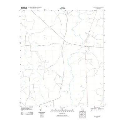
2011 Map of Statenville
USGS Topo · Published 2011About this map
The Statenville settlement serves as the central hub for this portion of southern Georgia, situated where the Alapaha River bends through the landscape. This area is defined by a dense network of waterways, including the Alapahoochee River and various tributaries like Kinsey Branch and Alligator Creek. The rural layout is shaped by family-named roads such as Joe Sandlin Rd, J Frank Culpepper Rd, and Roy Padgett Rd, reflecting long-standing local landownership patterns.
Find a feature on this map
43 named features on this map. Tap any name to fly to it.
Don’t see what you’re looking for? This feature index may not catch every label — zoom into the map to look around manually.
Map Details
Editions of this 2011 Statenville Map
This is the sole edition of this map. No revisions or reprints were ever made.
Other maps of this area

1954 · Valdosta
USGS Topo · 1:250,000

1955 · Jasper
USGS Topo · 1:24,000

1956 · Jennings
USGS Topo · 1:24,000

1956 · Octahatchee
USGS Topo · 1:24,000

1958 · Valdosta
USGS Topo · 1:250,000

1959 · Valdosta
USGS Topo · 1:250,000

1971 · Indianola
USGS Topo · 1:24,000

1971 · Howell
USGS Topo · 1:24,000

1971 · Lake Park
USGS Topo · 1:24,000

1971 · Tarver
USGS Topo · 1:24,000