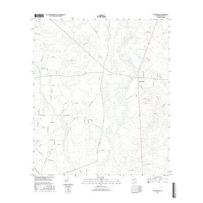
2017 Map of Statenville
USGS Topo · Published 2017About this map
Statenville serves as the focal point of this South Georgia landscape, situated at a bend in the Alapaha River. The area is defined by the winding paths of the Alapahoochee River and Knights Br, creating a complex network of wetlands and riverine terrain. The road structure reveals a deep connection to local family names and rural history, with routes such as Sardis Church Rd, Bethel Church Rd, and J Frank Culpepper Rd fanning out from the central settlement. For genealogists, the inclusion of Carter Cem and numerous family-named roads like Hickory Grove Rd and Coggins Farm Rd provides a clear map of local lineage. The topography is subtle, dominated by the low-lying basins of Long Br and Alligator Cr, reflecting the traditional agrarian and timber-based economy of Echols County.
Find a feature on this map
67 named features on this map. Tap any name to fly to it.
Don’t see what you’re looking for? This feature index may not catch every label — zoom into the map to look around manually.
Map Details
Editions of this 2017 Statenville Map
This is the sole edition of this map. No revisions or reprints were ever made.
Other maps of this area

1954 · Valdosta
USGS Topo · 1:250,000

1955 · Jasper
USGS Topo · 1:24,000

1956 · Jennings
USGS Topo · 1:24,000

1956 · Octahatchee
USGS Topo · 1:24,000

1958 · Valdosta
USGS Topo · 1:250,000

1959 · Valdosta
USGS Topo · 1:250,000

1971 · Indianola
USGS Topo · 1:24,000

1971 · Howell
USGS Topo · 1:24,000

1971 · Lake Park
USGS Topo · 1:24,000

1971 · Tarver
USGS Topo · 1:24,000