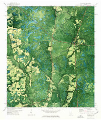
1971 Map of Statenville
USGS Topo · Published 1976About this map
Statenville stands as the primary seat of activity on the eastern bank of the winding Alapaha River during the early 1970s. This orthophotomap provides a clear view of the landscape where the Lowndes Co Echols Co line divides the dense woodlands and agricultural clearings. The distribution of spiritual and community centers is evident through several landmark structures, including Wrights Chapel, Sardis Ch, and Bethel Ch. Genealogists and local historians will find value in the specific locations of the Carter Cem and an additional Cem tucked away in the rural reaches of Echols County. The terrain is defined by the heavy meanders of the river and its smaller tributaries, such as the Branch, which cut through the varied vegetation patterns of this southern Georgia borderland.
Find a feature on this map
9 named features on this map. Tap any name to fly to it.
Don’t see what you’re looking for? This feature index may not catch every label — zoom into the map to look around manually.
Map Details
Editions of this 1971 Statenville Map
This is the sole edition of this map. No revisions or reprints were ever made.
Other maps of this area

1954 · Valdosta
USGS Topo · 1:250,000

1955 · Jasper
USGS Topo · 1:24,000

1956 · Jennings
USGS Topo · 1:24,000

1956 · Octahatchee
USGS Topo · 1:24,000

1958 · Valdosta
USGS Topo · 1:250,000

1959 · Valdosta
USGS Topo · 1:250,000

1971 · Indianola
USGS Topo · 1:24,000

1971 · Howell
USGS Topo · 1:24,000

1971 · Lake Park
USGS Topo · 1:24,000

1971 · Tarver
USGS Topo · 1:24,000