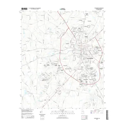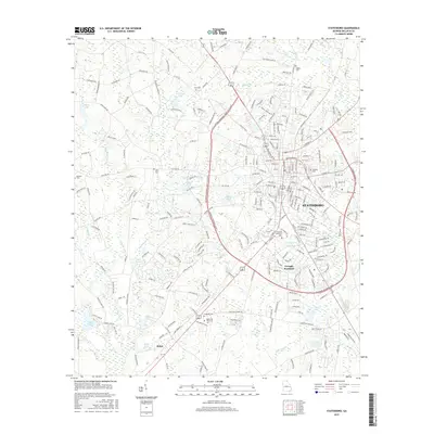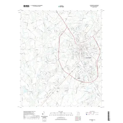
1920 Map of Statesboro
USGS Topo · Published 1920About this map
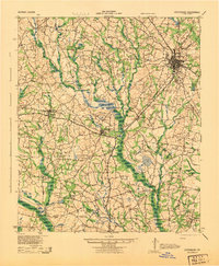
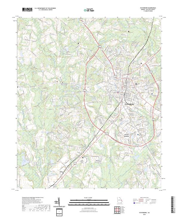
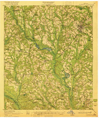
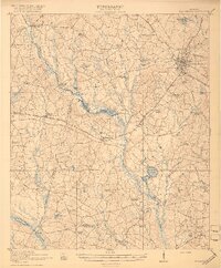
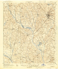
Statesboro serves as the primary hub of this 1920 survey, showing the city's early development at the intersection of several significant rail lines, including the Savannah and Statesboro and the Midland Railway. The surrounding Bulloch County landscape is defined by a dense network of local institutions that have since evolved or moved, such as the Smith Allen Deaf School, Croatan School, and Alderman High School. These small school districts and country churches like Langston Chapel and Mt Pisgah Church reflect a highly decentralized agrarian society where community life was centered on these rural nodes.
Find a feature on this map
58 named features on this map. Tap any name to fly to it.
Don’t see what you’re looking for? This feature index may not catch every label — zoom into the map to look around manually.
Map Details
Editions of this 1920 Statesboro Map
4 editions found

Historical Maps of Statesboro Through Time
9 maps found