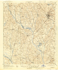
1920 Map of Statesboro
USGS Topo · Published 1942About this map
Statesboro serves as the focal point of this coastal plain landscape, where three distinct rail lines—the Midland RR, the Savannah and Statesboro RR, and the Central of Georgia RR—converge to drive the regional economy. The map reveals an intricate network of rural settlements like Register and Adabelle, supported by a high density of community institutions including the Smith Allen Deal School, New Hope Church, and Langston Chapel.
Find a feature on this map
72 named features on this map. Tap any name to fly to it.
Don’t see what you’re looking for? This feature index may not catch every label — zoom into the map to look around manually.
Map Details
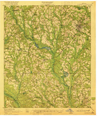
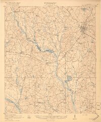
Editions of this 1920 Statesboro Map
4 editions found
Other maps of this area

1918 · Oliver
USGS Topo · 1:62,500

1919 · Claxton
USGS Topo · 1:62,500

1920 · Pembroke
USGS Topo · 1:62,500

1920 · Statesboro
USGS Topo · 1:62,500

1920 · Oliver
USGS Topo · 1:62,500

1921 · Brooklet
USGS Topo · 1:62,500

1921 · Rocky Ford
USGS Topo · 1:62,500

1943 · Brooklet
USGS Topo · 1:62,500

1943 · Rocky Ford
USGS Topo · 1:62,500

1943 · Millen
USGS Topo · 1:125,000