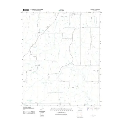
2012 Map of Steedman
USGS Topo · Published 2012About this map
Muddy Boggy Cr and its many tributaries, including Sincere Cr and Bully Cr, define the drainage of this central Oklahoma landscape. The settlement of Steedman sits along Steedman Loop, while other local hubs like Citra and Jaydee anchor the corners of the township grid. For family historians, this survey provides precise locations for several rural burial grounds, including Black Rock Cem in the north and Rod Oak Cem to the south. The area’s hydrological management is evident in larger impoundments such as the Upper Muddy Boggy Site 6 Reservoir and the Leader Middle Clear Boggy Cr 22 Reservoir, which interrupt the natural flow of the local creek systems. This network of section-line roads and named watercourses illustrates the intersection of mid-century water engineering and older residential patterns.
Find a feature on this map
57 named features on this map. Tap any name to fly to it.
Don’t see what you’re looking for? This feature index may not catch every label — zoom into the map to look around manually.
Map Details
Editions of this 2012 Steedman Map
This is the sole edition of this map. No revisions or reprints were ever made.
Other maps of this area

1896 · Coalgate
USGS Topo · 1:125,000

1899 · Coalgate
USGS Topo · 1:125,000

1900 · Coalgate
USGS Topo · 1:125,000

1901 · Stonewall
USGS Topo · 1:125,000

1957 · Stonewall
USGS Topo · 1:24,000

1957 · Tupelo NE
USGS Topo · 1:24,000

1957 · Ardmore
USGS Topo · 1:250,000

1958 · Sasakwa
USGS Topo · 1:24,000

1958 · Lula
USGS Topo · 1:24,000

1958 · Francis
USGS Topo · 1:24,000