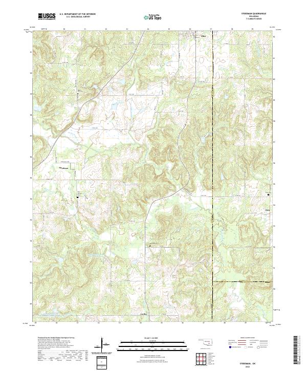
2022 Map of Steedman
USGS Topo · Published 2022About this map
Muddy Boggy Cr and its many tributaries, including Little Sandy Cr and Sincere Cr, carve through this section of the Oklahoma landscape where the borders of Pontotoc, Hughes, and Coal counties meet. The small community of Steedman is centered on Steedman Loop, while other local centers like Citra and Jaydee anchor the surrounding rural grid. Numerous family and community burial sites are preserved here, such as Black Rock Cem in the north and Red Oak Cem further south. Modern water management is evident through several named catchments, including the Upper Muddy Boggy Site 6 Reservoir and Leader Middle Clear Boggy Cr 22 Reservoir, which illustrate how the region manages the drainage of the Boggy Creek watershed. The settlement pattern remains largely dispersed, connected by a network of county roads like Blackrock RD and Janda RD that navigate the undulating terrain between the creek bottoms.
Find a feature on this map
74 named features on this map. Tap any name to fly to it.
Don’t see what you’re looking for? This feature index may not catch every label — zoom into the map to look around manually.
Map Details
Editions of this 2022 Steedman Map
This is the sole edition of this map. No revisions or reprints were ever made.
Other maps of this area

1896 · Coalgate
USGS Topo · 1:125,000

1899 · Coalgate
USGS Topo · 1:125,000

1900 · Coalgate
USGS Topo · 1:125,000

1901 · Stonewall
USGS Topo · 1:125,000

1957 · Stonewall
USGS Topo · 1:24,000

1957 · Tupelo NE
USGS Topo · 1:24,000

1957 · Ardmore
USGS Topo · 1:250,000

1958 · Sasakwa
USGS Topo · 1:24,000

1958 · Lula
USGS Topo · 1:24,000

1958 · Francis
USGS Topo · 1:24,000