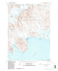
1963 Map of Stepovak Bay D-6
USGS Topo · Published 1984About this map
Alaska Peninsula National Wildlife Refuge dominates the landscape of this mid-century survey, illustrating the complex coastal geography where the Alaska Peninsula meets the Pacific waters. The terrain is defined by dramatic coastal features like the Rock Wall and the low-lying expanse of the Stepanof Flats. An isolated Drill Hole near the Big River serves as a lone marker of human industrial interest in an otherwise unpopulated wilderness of steep ridgelines and tidal zones. Navigation points such as Dent Point and Gull Rocks frame the entrance to Stepovak Bay, while the intricate shoreline of Ramsey Bay and Clark Bay reveals a coastline shaped by heavy glaciation and marine erosion. This 1963 field annotation captures the region before the formalization of modern conservation boundaries, showing a raw landscape of gulches and flats.
Find a feature on this map
15 named features on this map. Tap any name to fly to it.
Don’t see what you’re looking for? This feature index may not catch every label — zoom into the map to look around manually.
Map Details
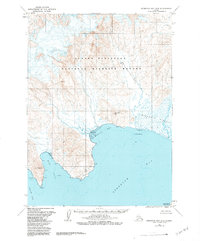
Editions of this 1963 Stepovak Bay D-6 Map
3 editions found
Other maps of this area

1951 · Stepovak Bay
USGS Topo · 1:250,000

1953 · Port Moller
USGS Topo · 1:250,000
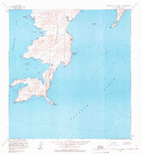
1963 · Stepovak Bay C-5 and C-6
USGS Topo · 1:63,360

1963 · Chignik A-6
USGS Topo · 1:63,360

1963 · Port Moller C-1
USGS Topo · 1:63,360

1963 · Chignik A-5
USGS Topo · 1:63,360

1963 · Chignik A-7
USGS Topo · 1:63,360

1963 · Stepovak Bay D-6
USGS Topo · 1:63,360

1963 · Stepovak Bay D-5
USGS Topo · 1:63,360

1963 · Chignik
USGS Topo · 1:250,000