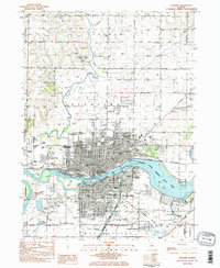
1983 Map of Sterling
USGS Topo · Published 1984About this map
The Rock River corridor anchors this early 1980s landscape, serving as the industrial and geographical divide between Sterling and Rock Falls. This era shows a dense urban grid defined by the Chicago and North Western and Burlington Northern railroads, which facilitated the growth of the manufacturing core. Significant local heritage is preserved at the Indian Mounds Historic Site near Sinnissippi Park, while the Hennepin Canal Parkway State Park traces the historic waterway's path to the east.
Find a feature on this map
78 named features on this map. Tap any name to fly to it.
Don’t see what you’re looking for? This feature index may not catch every label — zoom into the map to look around manually.
Map Details
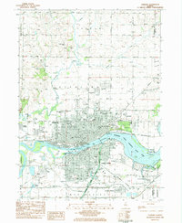
Editions of this 1983 Sterling Map
2 editions found
Other maps of this area

1930 · Woodsung
USGS Topo · 1:48,000

1932 · Prophetstown
USGS Topo · 1:48,000

1934 · Morrison
USGS Topo · 1:48,000

1936 · Prophetstown
USGS Topo · 1:62,500

1940 · Morrison
USGS Topo · 1:62,500

1946 · Sterling
USGS Topo · 1:62,500

1948 · Sterling
USGS Topo · 1:62,500

1949 · Walnut
USGS Topo · 1:62,500

1958 · Aurora
USGS Topo · 1:250,000

1961 · Aurora
USGS Topo · 1:250,000