Loading...
Loading map...2024 Map of Steward
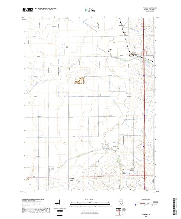
USGS Topo · Published 2024About this map
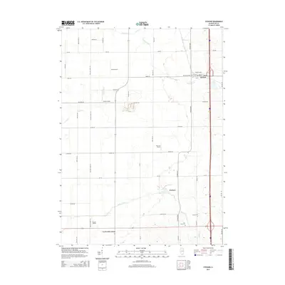
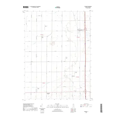
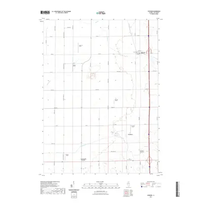
Steward serves as the primary hub of this eastern Lee County landscape, where the rectilinear grid of local roads like Melugins Grove Rd and Town Line Rd define a highly organized agricultural interior. The area is marked by a notable density of small private airfields, including Durin Airport, Bresson Airport, and the uniquely named Hep Cats Airport, reflecting the region's relationship with modern transport and local aviation.
Find a feature on this map
42 named features on this map. Tap any name to fly to it.
Don’t see what you’re looking for? This feature index may not catch every label — zoom into the map to look around manually.
Map Details
Date Portrayed2024
Date Published2024
PublisherU.S. Geological Survey
Map TypeTopographic
Scale1:24,000
Physical Dimensions24 x 29 inches
Editions of this 2024 Steward Map
This is the sole edition of this map. No revisions or reprints were ever made.
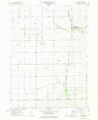
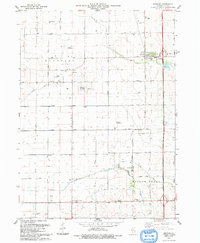
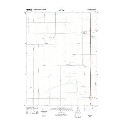
Historical Maps of Steward Through Time
7 maps found
Featured Locations
- Viola Township, IL
- Alto Township, IL
- Willow Creek Township, IL
- Reynolds Township, IL
- Steward, Alto Township
Source Details
SourceU.S. Geological Survey
CopyrightPublic Domain