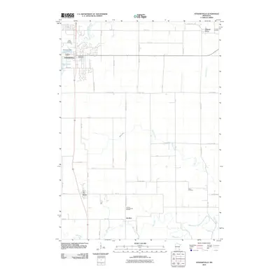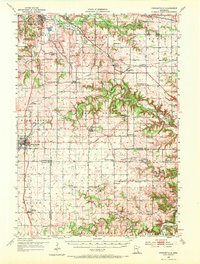
1955 Map of Stewartville
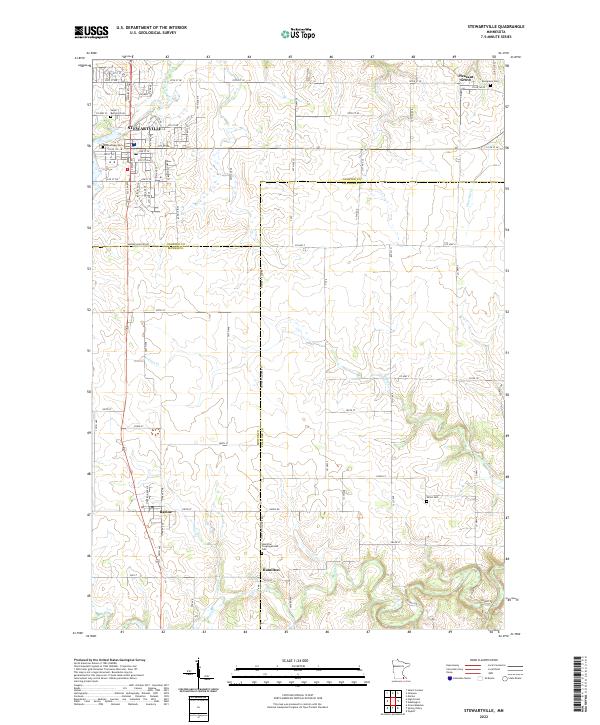
USGS Topo · Published 1972About this map
The South Fork Zumbro River and the headwaters of the Root River system define this portion of Southeast Minnesota in the mid-1950s. Stewartville serves as a primary hub on the western edge, positioned near Lake Florence, while the Rochester Municipal Airport and the Institute of Experimental Medicine highlight the regional infrastructure of the era. The map reveals a dense network of rural education and faith, featuring numerous country schools like the Little Red Sch and St Bridget Sch, alongside local landmarks such as the Sumner Center Ch.
Find a feature on this map
75 named features on this map. Tap any name to fly to it.
Don’t see what you’re looking for? This feature index may not catch every label — zoom into the map to look around manually.
Map Details
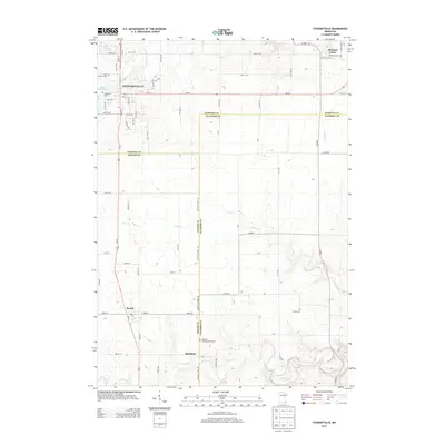
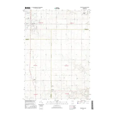
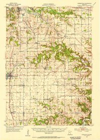
Editions of this 1955 Stewartville Map
2 editions found
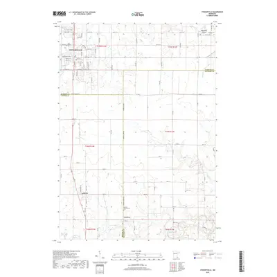
Historical Maps of Rochester Through Time
7 maps found