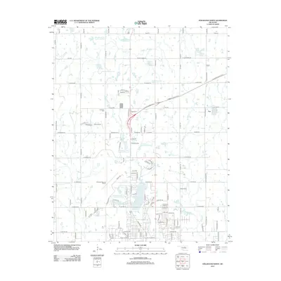
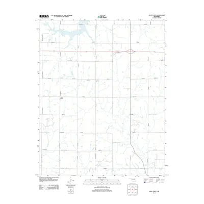
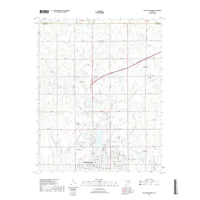
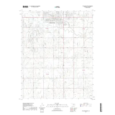
1967 Map of Stillwater North
USGS Topo · Published 1986About this map
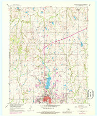
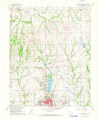
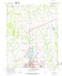
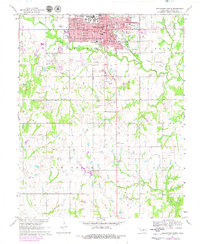
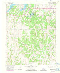
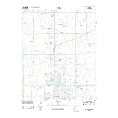
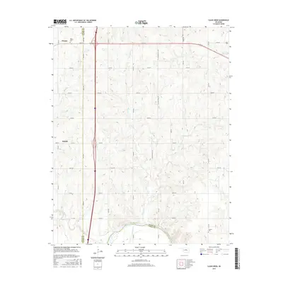
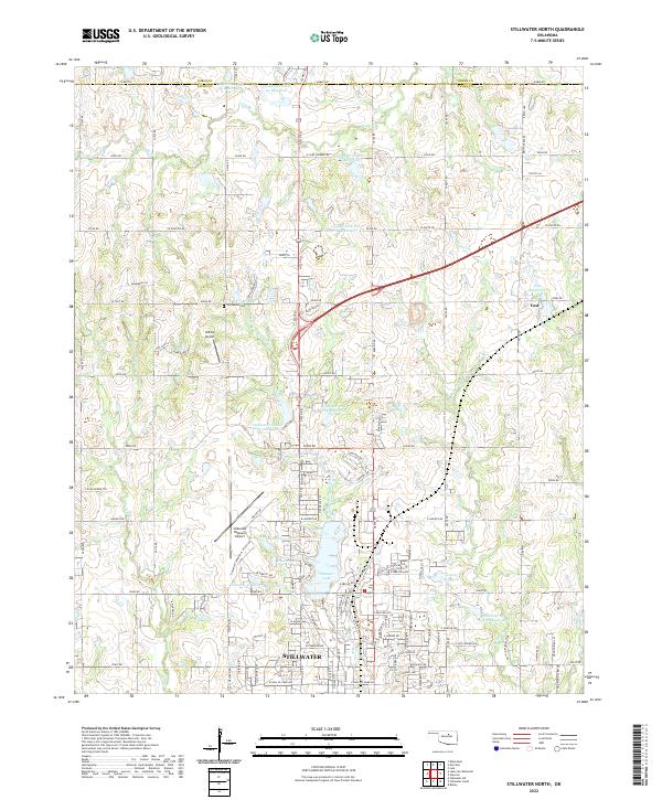
Oklahoma State University anchors the southern portion of this topographic study, revealing the northward expansion of Stillwater during the mid-to-late 20th century. The landscape is a mix of educational infrastructure and recreational spaces, most notably Boomer Lake Park and its associated water bodies like Hazen Lake and Sanborn Lake. To the north, the transition from urban streets to rural terrain is marked by the presence of oil wells and the Cimarron Turnpike, which cuts across the landscape near the small community of Yost.
Find a feature on this map
33 named features on this map. Tap any name to fly to it.
Don’t see what you’re looking for? This feature index may not catch every label — zoom into the map to look around manually.
Map Details
Editions of this 1967 Stillwater North Map
3 editions found
Historical Maps of Stillwater Through Time
36 maps found
1967 Stillwater North
Payne County, OK
1967 Stillwater South
Payne County, OK
1967 Stillwater SW
Payne County, OK
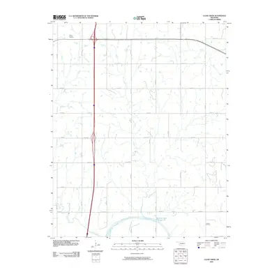
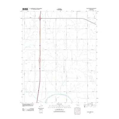
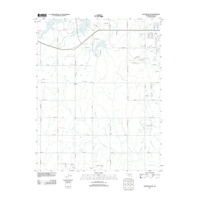
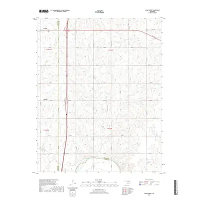
1974 Clear Creek
Payne County, OK
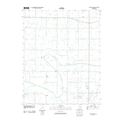
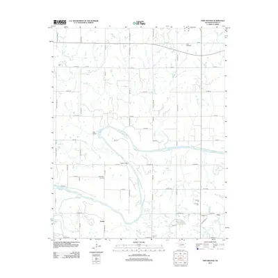
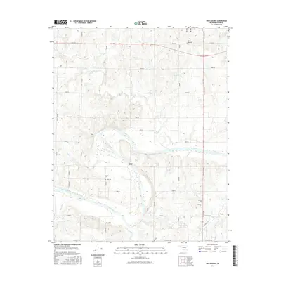
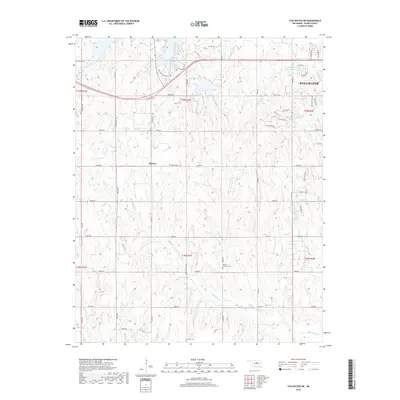
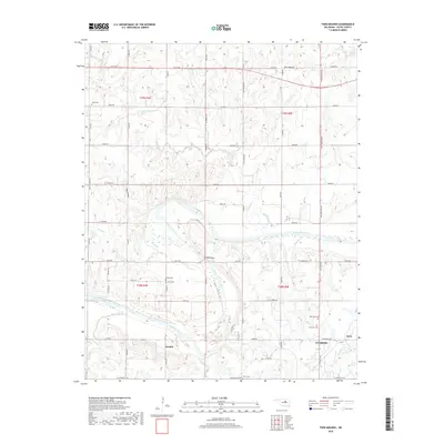
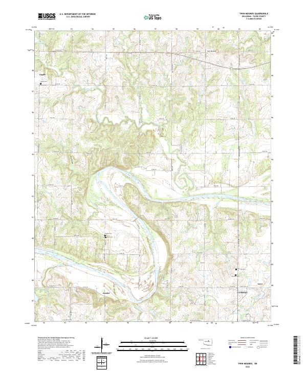
1975 Twin Mounds
Payne County, OK
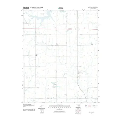
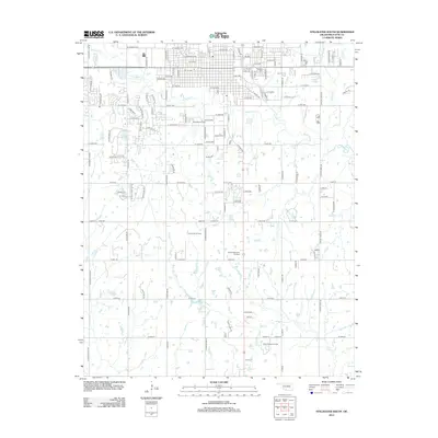
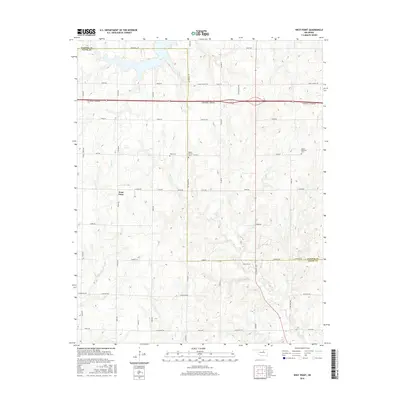
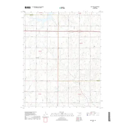
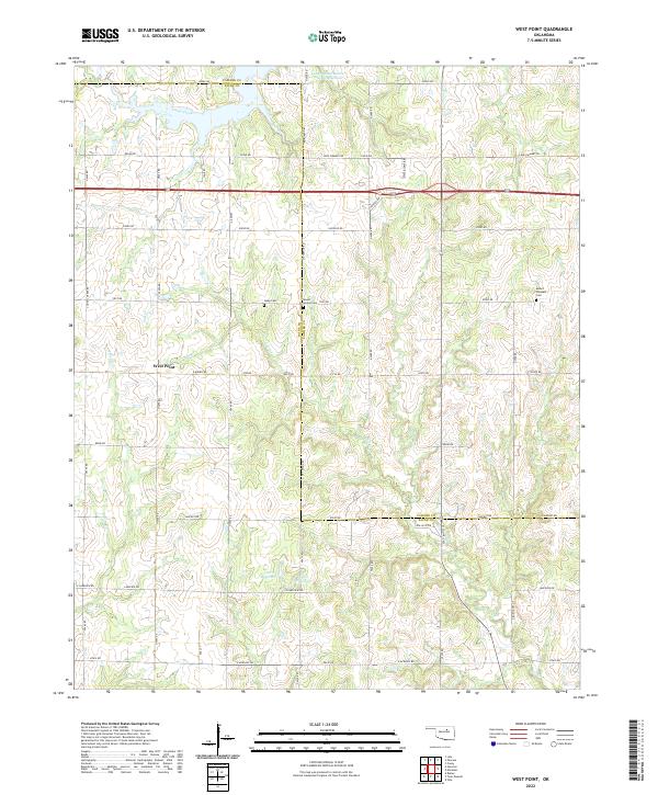
1975 West Point
Payne County, OK
2009 Clear Creek
Payne County, OK
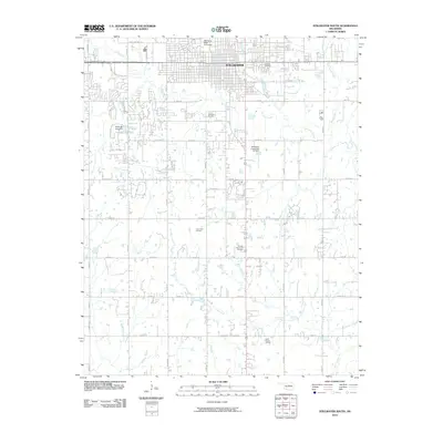
2009 Stillwater North
Payne County, OK
2010 Stillwater South
Payne County, OK
2010 Stillwater SW
Payne County, OK
2010 Twin Mounds
Payne County, OK
2010 West Point
Payne County, OK
2012 Clear Creek
Payne County, OK
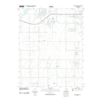
2012 Stillwater North
Payne County, OK
2012 Twin Mounds
Payne County, OK
2013 Stillwater South
Payne County, OK
2013 Stillwater SW
Payne County, OK
2013 West Point
Payne County, OK
2016 Clear Creek
Payne County, OK
2016 Stillwater North
Payne County, OK
2016 Stillwater South
Payne County, OK
2016 Stillwater SW
Payne County, OK
2016 Twin Mounds
Payne County, OK
2016 West Point
Payne County, OK
2018 Clear Creek
Payne County, OK
2018 Stillwater North
Payne County, OK
2018 Stillwater South
Payne County, OK
2018 Stillwater SW
Payne County, OK
2018 Twin Mounds
Payne County, OK
2018 West Point
Payne County, OK
2022 Clear Creek
Payne County, OK
2022 Stillwater North
Payne County, OK
2022 Stillwater South
Payne County, OK
2022 Stillwater SW
Payne County, OK
2022 Twin Mounds
Payne County, OK
2022 West Point
Payne County, OK