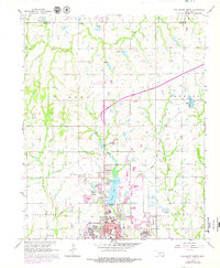
1967 Map of Stillwater North
USGS Topo · Published 1979About this map
The sprawling campus of Oklahoma State University and the northern residential expansion of Stillwater dominate this late 1960s landscape. This survey captures a period of significant local infrastructure development, including the corridor of the Cimarron Turnpike cutting across the northeastern quadrant near the small settlement of Yost. Water resources are a central feature of the area's geography, with the large expanse of Boomer Lake and its associated Boomer Lake Park serving as a focal point for recreation alongside Sanborn Lake and Hazen Lake.
Find a feature on this map
36 named features on this map. Tap any name to fly to it.
Don’t see what you’re looking for? This feature index may not catch every label — zoom into the map to look around manually.
Map Details
Editions of this 1967 Stillwater North Map
3 editions found
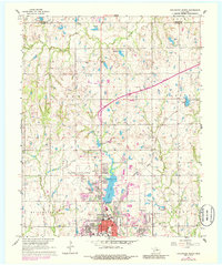
Other maps of this area

1893 · Stillwater
USGS Topo · 1:62,500

1929 · Ripley
USGS Topo · 1:62,500

1930 · Pawnee
USGS Topo · 1:62,500

1932 · Ripley
USGS Topo · 1:62,500

1936 · Pawnee
USGS Topo · 1:62,500

1955 · Enid
USGS Topo · 1:250,000

1958 · Enid
USGS Topo · 1:250,000

1966 · Lake Carl Blackwell
USGS Topo · 1:24,000
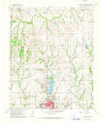
1967 · Stillwater North
USGS Topo · 1:24,000
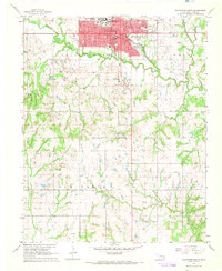
1967 · Stillwater South
USGS Topo · 1:24,000