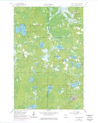
1964 Map of Stingy Lake
USGS Topo · Published 1977About this map
The George Washington State Forest and Sturgeon River State Forest dominate this northern Minnesota landscape, where the boundary between Itasca and St. Louis counties runs through a dense network of glacial lakes and wetlands. Originally field-checked in the mid-1960s, this survey documents a period of active resource management and early recreation within the Superior National Forest and surrounding state lands. A distinctive water system is traced through the Stuntz Brook, Day Brook, and the East River, connecting numerous named bodies of water including the central Stingy Lake and the smaller Koffman Lake. Scattered Gravel Pit labels indicate local infrastructure support for the gravel roads that weave through the timber stands. This document preserves the mid-century names of smaller features like Lake Fourndfour and Waymier Lake, providing an essential reference for local history and land-use studies.
Find a feature on this map
25 named features on this map. Tap any name to fly to it.
Don’t see what you’re looking for? This feature index may not catch every label — zoom into the map to look around manually.
Map Details
Editions of this 1964 Stingy Lake Map
4 editions found
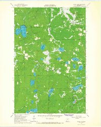
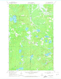
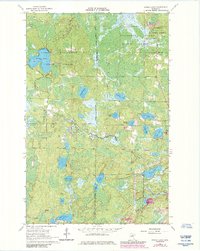
Other maps of this area

1951 · Hibbing
USGS Topo · 1:24,000

1952 · Keewatin
USGS Topo · 1:24,000

1952 · Nashwauk
USGS Topo · 1:24,000

1954 · Hibbing
USGS Topo · 1:250,000

1955 · Dewey Lake NW
USGS Topo · 1:24,000

1955 · Dewey Lake
USGS Topo · 1:24,000

1957 · Hibbing
USGS Topo · 1:250,000

1957 · Hibbing
USGS Topo · 1:24,000

1958 · Hibbing
USGS Topo · 1:250,000

1964 · Hibbing
USGS Topo · 1:250,000